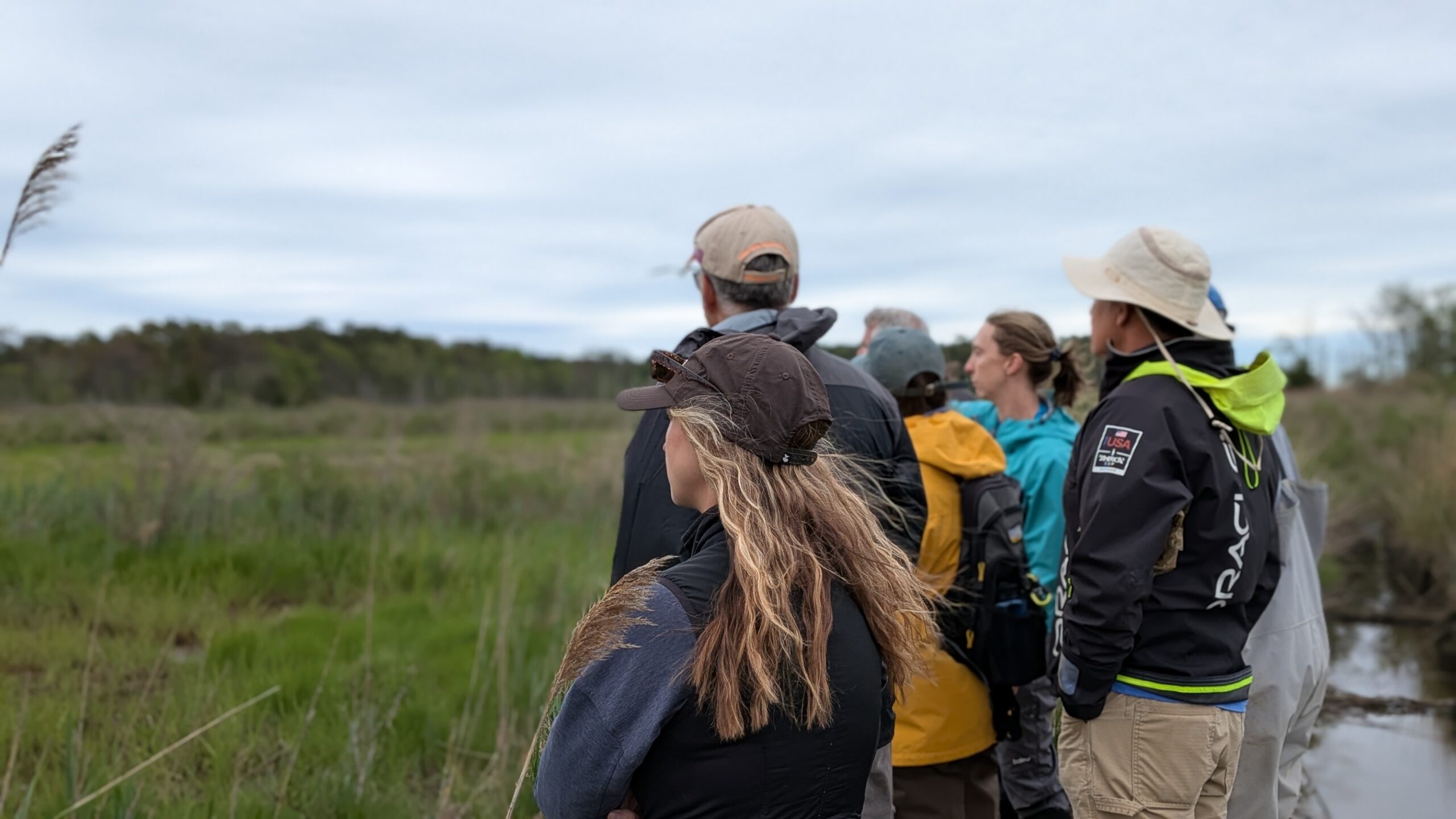
Since 2017, Barnegat Bay Partnership has been conducting continuous water quality monitoring at three different locations within Barnegat Bay: Beach Haven, Seaside, and Mantoloking. BBP’s continuous water quality monitoring program aims to give stakeholders including residents, educators, water quality managers, and scientists timely access to reliable measurements of coastal water quality. The three long-term stations transmit real-time data to NJDEP and the Rutgers University Continuous Data Monitoring Program website, where it is available for download. The data are also used in the NJDEP’s Water Quality Assessments and Integrated Reports. Assessments are conducted statewide every two years under Sections 303(d) and 305(b) of the federal Clean Water Act to determine whether water quality conditions have changed over time
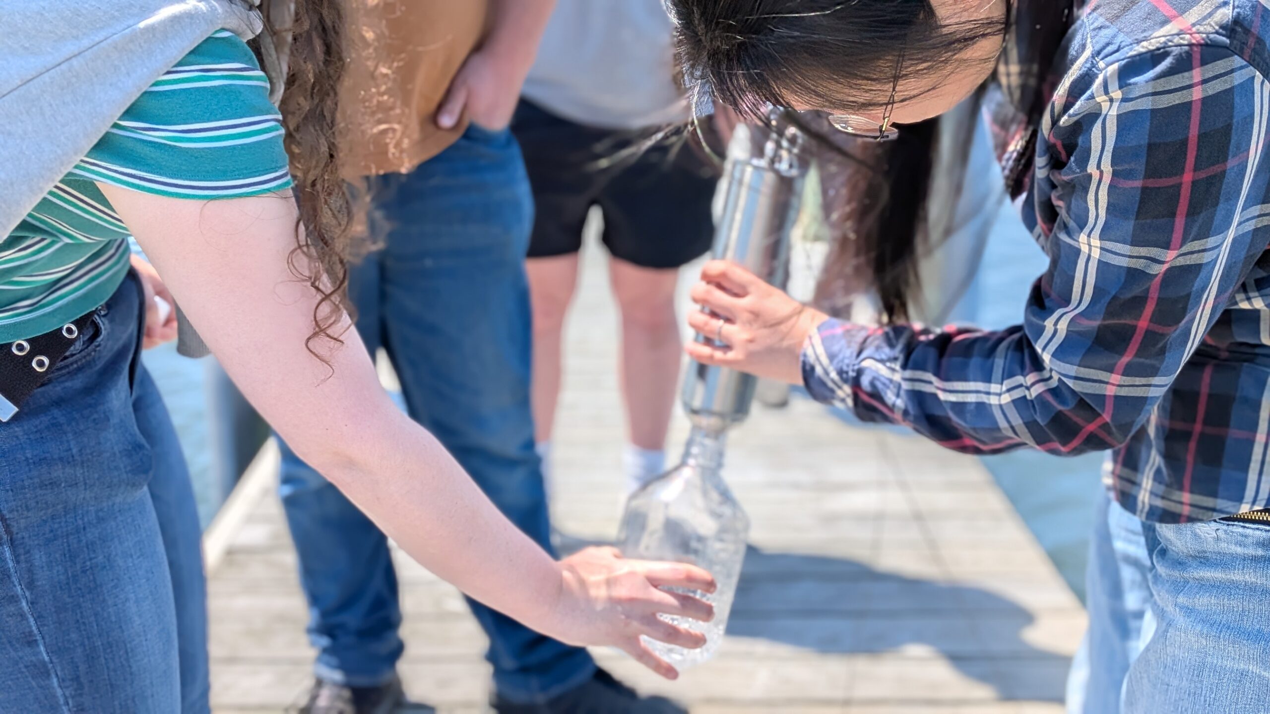
Water quality data are collected at each station using a YSI EXO sonde, a multiparameter meter that is equipped with individual sensors that collect specific parameters, deployed 1meter from the bottom and protected by a PVC flow-through cover. The water quality team at the BBP regularly maintains and cleans the meters to avoid biofouling (the unwanted accumulation and growth of microorganisms, plants, algae, and small animals on submerged surfaces). At each station, the sondes are connected to power which allows the data to be transmitted near real-time to the NJDEP website. While this is useful to monitor current conditions, BBP staff also use this information to ensure all sondes are functioning properly.


Until recently, the BBP monitored the basics: temperature, dissolved oxygen, pH, salinity, turbidity, and depth. As of May 2026, the Mantoloking water quality station was upgraded to include chlorophyll monitoring. Using a total algae sensor, which functions by emitting light at a certain wavelength that makes algal pigments glow (a process called fluorescence), the sensor detects fluorescence, giving us a real-time estimation of chlorophyll, or algae, at the site.
Monitoring chlorophyll can be helpful in many ways. Thanks to this additional technology, the BBP can directly connect chlorophyll levels to other metrics like dissolved oxygen and pH. We have always noticed that high dissolved oxygen levels tend to pair up with higher pH, but adding chlorophyll data as another variable to compare will help us better understand trends within the Barnegat Bay.
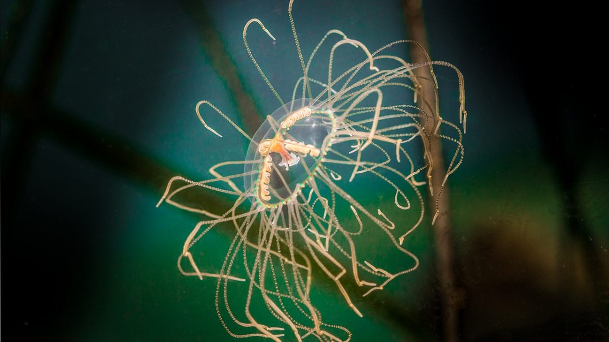
Chlorophyll is also an excellent tool for estimating algae biomass and tracking algal blooms. This tracking is vital for public health, as certain algae species can become harmful to the community. Local researchers are already putting this new data to work. Dr. Shuting Liu of Kean University has been studying our Seaside and Mantoloking sites to understand dissolved organic matter and its impacts on microbial activity and human safety. Currently, Dr. Liu and her students are tackling a new project focused on harmful algal blooms and their toxins. To do this, they are combining the continuous chlorophyll data from the Mantoloking station with chlorophyll-a data extracted directly from physical water samples.
By bridging the gap between station sensors and hands-on university research, we are gaining a stronger understanding of the health of the Barnegat Bay. This new chlorophyll data doesn’t just expand our scientific toolkit; it directly strengthens our ability to monitor the waters we all share. As we look ahead, these insights will help us better anticipate water quality shifts, protect local public health, and ensure the bay remains a vibrant resource for the community. Stay tuned to our website for future updates and real-time insights as we continue to track these trends.