When we think of critical marine environments, coral reefs and mangrove forests usually dominate the conversation. In our region, however, seagrass beds (primarily comprised of eelgrass and widgeongrass) provide critical ecosystem services, but remain at risk from human interactions.
Seagrass beds cover less than one percent of the Earth’s surface, yet they represent one of the most ecologically valuable habitats on the planet.
Roughly 75% of all of NJ’s seagrass beds are located in the Barnegat Bay-Little Egg Harbor System.
To understand their importance, it helps to look at the numbers. The vast majority of our planet is covered by water, with oceans accounting for roughly 360,000,000 square kilometers, while land takes up about 147,042,000 square kilometers. Within the narrow margins where these two worlds meet, seagrass occupies a fraction of the global surface area, hovering at mere thousandths of a percent. Despite this restricted footprint, these underwater meadows outsize other high profile marine environments.
Globally, seagrass habitats span approximately 325,178 square kilometers. In comparison, coral reefs cover about 255,000 square kilometers, and mangrove forests occupy roughly 199,817 square kilometers.
Because seagrass meadows maintain a larger physical presence than these other ecosystems, their impact on coastal stability is immense. They act as natural wave attenuation barriers, reducing shoreline erosion and trapping suspended sediments to improve water clarity. Furthermore, their extensive root structures anchor the seabed, preventing the shifting of marine sediments during major storm events.
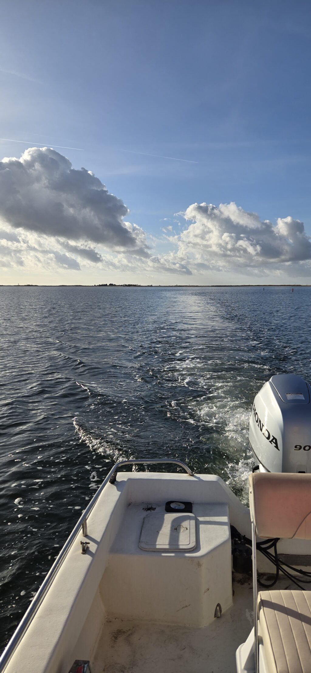
You may have noticed on a trip on the bay that the water throughout the Barnegat is roughly 4-6ft deep. The shallow waters of the bay allow for sunlight to reach the entire water column, creating ideal conditions for the photosynthesizing seagrass beds.
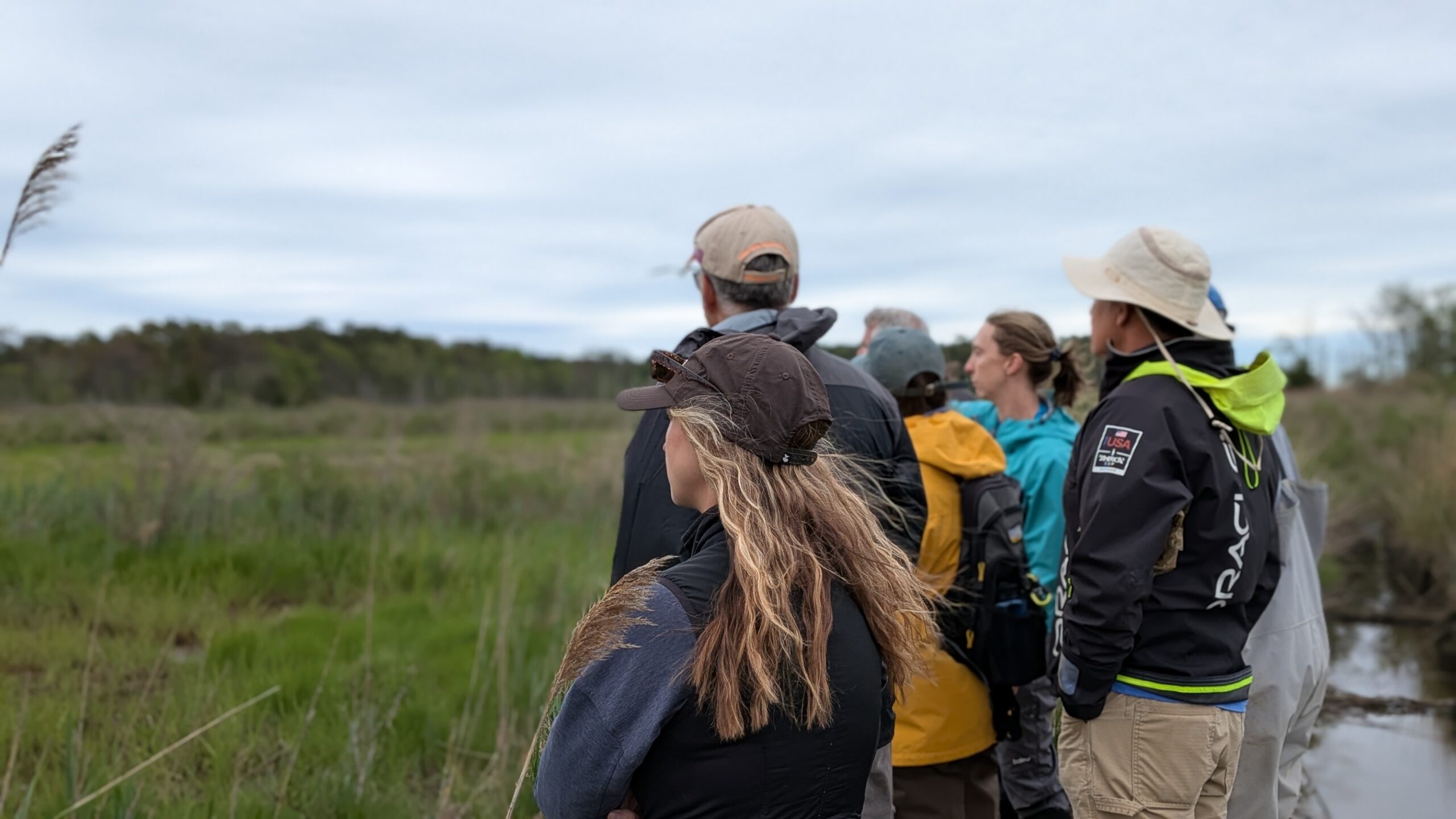
You may be familiar with these beds of seagrass. If you are, maybe you’ve even noticed long, barren trenches cutting through the green meadows. These are propeller scars, and they are leaving a lasting mark on New Jersey’s coastal environment.
What is a Propeller Scar?

A propeller scar occurs when a vessel enters water that is too shallow for its draft. The spinning boat propeller cuts directly through the seagrass blades and digs into the bay floor, churning up sediment and physically ripping out the plants’ roots (rhizomes).
What is left behind is a literal “scar”, or a barren strip of exposed sand where the grass used to be anchored.
Because seagrass relies on a delicate network of underground roots to spread, recovering from a physical slice is not like waiting for a lawn to grow back.
Research has shown that even minor scarring from boat propellers can take several years to recover. Serious scarring can take up to 18 years to fully grow back. Once a scar is cut, the structural integrity of the sediment is lost. Boat wakes can widen these narrow cuts into large, eroded blowouts, damaging large regions of the habitat.
Long-term historical data mapped by Rutgers University’s Center for Remote Sensing and Spatial Analysis (CRSSA) highlighted a loss of approximately 2,000 to 3,000 hectares of seagrass beds in the bay between historical mid-century levels and the turn of the century. Combined with modern stressors like nutrient runoff and algae blooms, propeller scarring severely limits the grass’s ability to bounce back.
Because of this fragility, the state has actively expanded its research, partnering with Rutgers and Stockton University to conduct enhanced aerial mapping to closely track and protect these sensitive zones.
Preventing propeller scars doesn’t mean staying off the water. It just requires mindful navigation. Boaters can use the following precautions to help prevent damage to seagrass beds:
Know Your Depth: Always check local charts and tide tables. Remember, Barnegat Bay is exceptionally shallow outside of the dredged channels.
Navigate the Channels: Use marked navigation channels for travel and maintain a distance of at least 100 feet from natural shorelines and sensitive ecological areas.
Watch Your Wake: Minimize your wake in shallow areas to prevent the erosion of nearby grass edges.
Trim Up and Slow Down: If you accidentally enter a shallow seagrass flat, tilt your engine up, shift into neutral, and slowly troll or push your way out. Running the engine harder to “power through” mud or grass is what creates the deepest, most destructive scars.
Barnegat Bay’s shallow water is what makes it unique, beautiful, and highly productive, but it also makes it vulnerable. By understanding what lies just a few feet below our hulls, we can ensure that the bay remains a healthy, thriving ecosystem for both marine life and boaters for generations to come.
Take a look at the infographic below to learn more about the value of seagrass in the Barnegat Bay.

The next time you are out on the water, lift your motor, protect the seagrass, and leave no trace behind.