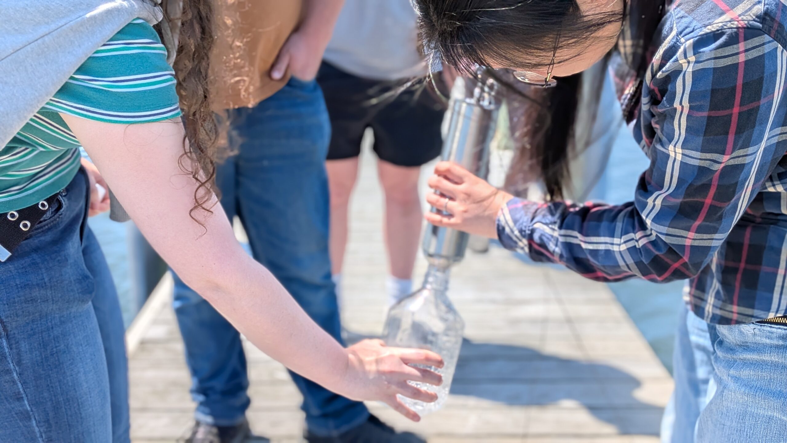
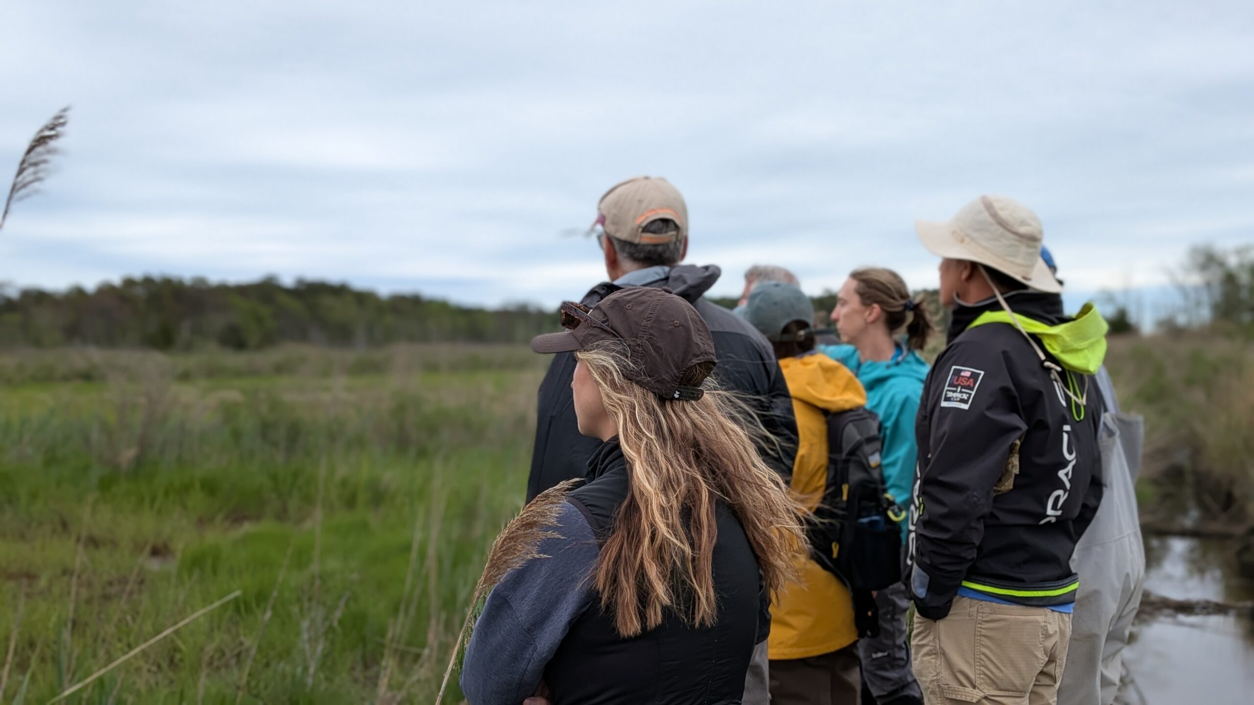
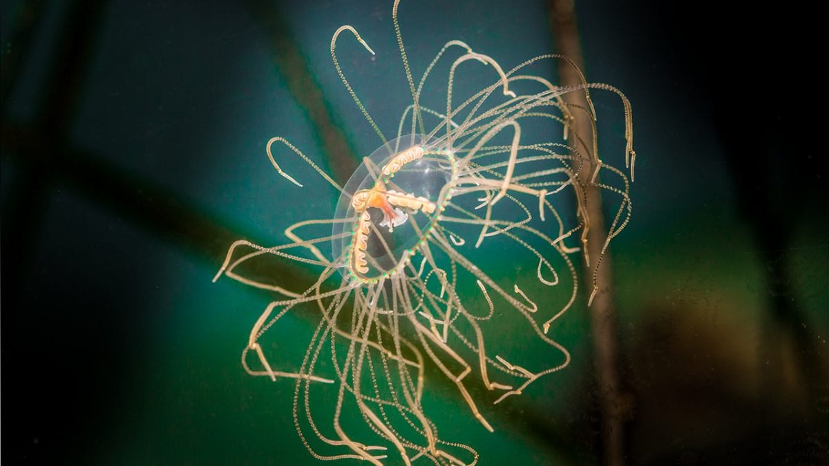
The Barnegat Bay is home to more than 3,600 species of plants, fish, shellfish, and birds, making it one of the most biodiverse and productive ecosystems along our coast. The web of life supported by the bay system, including people, depends on healthy water conditions such as temperature, dissolved oxygen, turbidity, salinity, and pH. To track changes in these critical parameters, the Barnegat Bay Partnership (BBP) has operated continuous water quality monitoring stations at three sites in the bay, collecting more than 5.5 million data points since 2017.

What “parameters” (numerical or other measurable factor forming one of a set that defines a system or sets the conditions of its operation) are being measured, and why?
Water temperature plays a central role in aquatic environments, influencing nearly every other parameter. When water warms, dissolved oxygen is less available to organisms, pollutants may dissolve more easily, and the risks of algal blooms and stress to wildlife increase. Dissolved oxygen itself is vital for life in the bay. Just as people need oxygen, fish and other organisms rely on it to breathe. Most fish cannot survive in low oxygen environments, while some invertebrates like snails and jellies are more tolerant. Ensuring adequate oxygen levels is essential for keeping the bay healthy and diverse.
Other parameters matter just as much. Turbidity, or water clarity, affects how much sunlight reaches aquatic plants, and it can clog fish gills or interfere with predator and prey interactions. Salinity, the concentration of dissolved salts, is critical for fish and shellfish that are adapted to specific ranges. The same is true for pH, which measures acidity. Even slight shifts can make survival difficult for many species.
In order to ensure these parameters remain consistently ideal for life in the Barnegat Bay, the BBP has been collecting continuous data, streaming right from the bay, since 2017. Federal funding from the Infrastructure Investment and Jobs Act have provided the BBP the opportunity to update equipment so that data can be streamed in real time (15-minute intervals) to the NJ Department of Environmental Protection (NJDEP). This system not only provides valuable insights for researchers and managers but also helps identify emerging problems before they cause lasting ecological damage.
BBP’s continuous water quality monitoring program aims to give stakeholders including residents, educators, water quality managers, and scientists timely access to reliable measurements of coastal water quality. The three long-term stations in Beach Haven, Seaside Park, and Mantoloking transmit real-time data to NJDEP and the Rutgers University Continuous Data Monitoring Program website, where it is available for download. The data are also used in the NJDEP’s Water Quality Assessments and Integrated Reports. Assessments are conducted statewide every two years under Sections 303(d) and 305(b) of the federal Clean Water Act to determine whether water quality conditions have changed over time.
Curious about what’s happening in the waters near you? The data portal makes it easy to dive in and explore. Whether you want to check conditions before heading out to fish, spark curiosity in your classroom, or simply learn more about your local ecosystem, the information is readily available. By exploring the portal and staying informed, you become part of the effort to protect this estuary. The Barnegat Bay Partnership is committed to safeguarding the bay for wildlife and for the people who depend on it. We invite you to learn, share, and get involved because when the bay thrives, so do our communities.