Working collaboratively to protect the Barnegat Bay Estuary Systems
The Barnegat Bay Partnership is one of 28 congressionally designated National Estuary Programs established to protect and restore the water quality and ecological integrity of estuaries of national significance.
Latest News
Trim Up and Slow Down: Protecting Barnegat Bay’s Seagrass Beds
A Closer Look at Clinging Jellyfish in New Jersey’s Coastal Waters
The 2026 Barnegat Bay Master Naturalist Class
WHAT IS THE BARNEGAT BAY PARTNERSHIP?
The Barnegat Bay Partnership is one of 28 National Estuary Programs established to protect and restore the water quality and ecological integrity of estuaries of national significance. Though estuary regions compromise just 4 percent of the continental US land area, they house 40% of the US gross domestic product. The National Estuary Program was founded in 1987 as part of the Clean Water Act and was established to protect the integrity of estuaries of national significance.
The Barnegat Bay Partnership is a partnership of federal, state, municipal, academic, business, and private organizations that work together with the communities of the Barnegat Bay watershed to help restore, protect, and enhance the water quality and natural resources of the Barnegat Bay and its watershed. The Barnegat Bay is roughly 75 square miles in Ocean County, New Jersey, and the watershed, which spans over 600 square miles, is home to over 560,000 people. The bay supports one of the most valuable economies of any estuary in the nation. It is an ecological treasure that supports a diverse $4 billion per year economy based on good jobs in tourism, fishing, recreation, industry, health care, and water resources.
The Barnegat Bay Partnership and its partners developed an ecosystem-based management approach to manage the water quality, water supply, living resources, and land use in the estuary. Barnegat Bay Partnership is committed to identifying priority corrective actions and timelines addressing point and nonpoint source pollution to restore and maintain the chemical, physical and biological integrity of the estuary.
Each of the 28 National Estuary Programs was charged with developing and implementing a Comprehensive Conservation and Management Plan (CCMP) that establishes priorities for activities, research and funding for the estuary. The CCMP serves as a blueprint to guide future decisions and addresses a wide range of environmental protection issues, including water quality, habitat, fish and wildlife, pathogens, land use, and introduced species.
The Barnegat Bay Partnership's annual report provides a snapshot of collaborative efforts to protect and restore the watershed. It tracks water quality and wetlands health to support data-driven management decisions, while highlighting hands-on restoration projects aimed at improving coastal climate resilience. Additionally, the report showcases public participation through local volunteer efforts and community science projects like Paddle for the Edge. Ultimately, it serves as a transparent road map that celebrates conservation milestones and outlines future steps to sustain the bay's environment and local economy.
Shaping a Sustainable Future for Barnegat Bay
Through research, community engagement, and educational initiatives, the Barnegat Bay Partnership and its partners developed an ecosystem-based management approach to manage the water quality, water supply, living resources, and land use in the estuary.
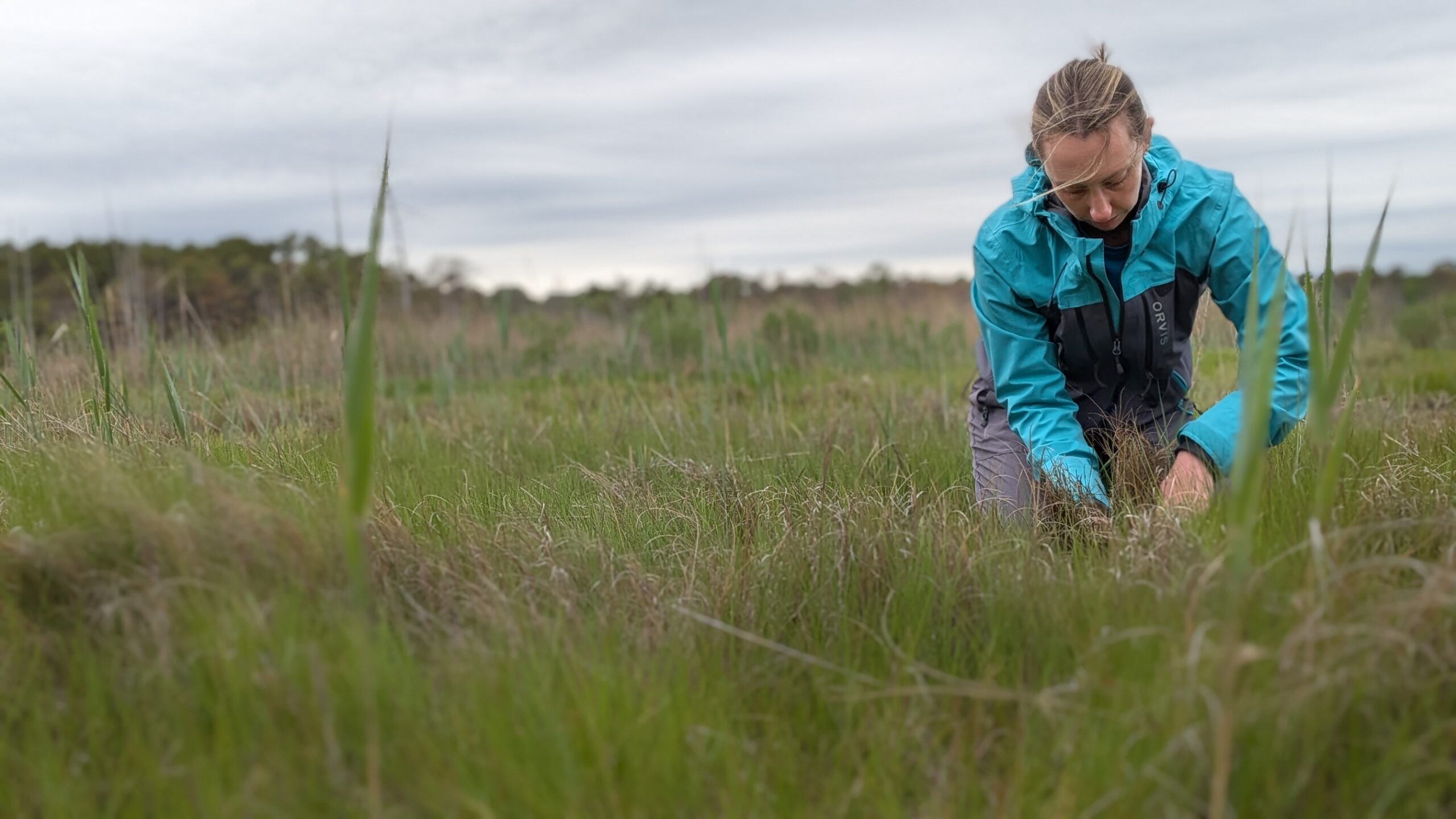
RESEARCH
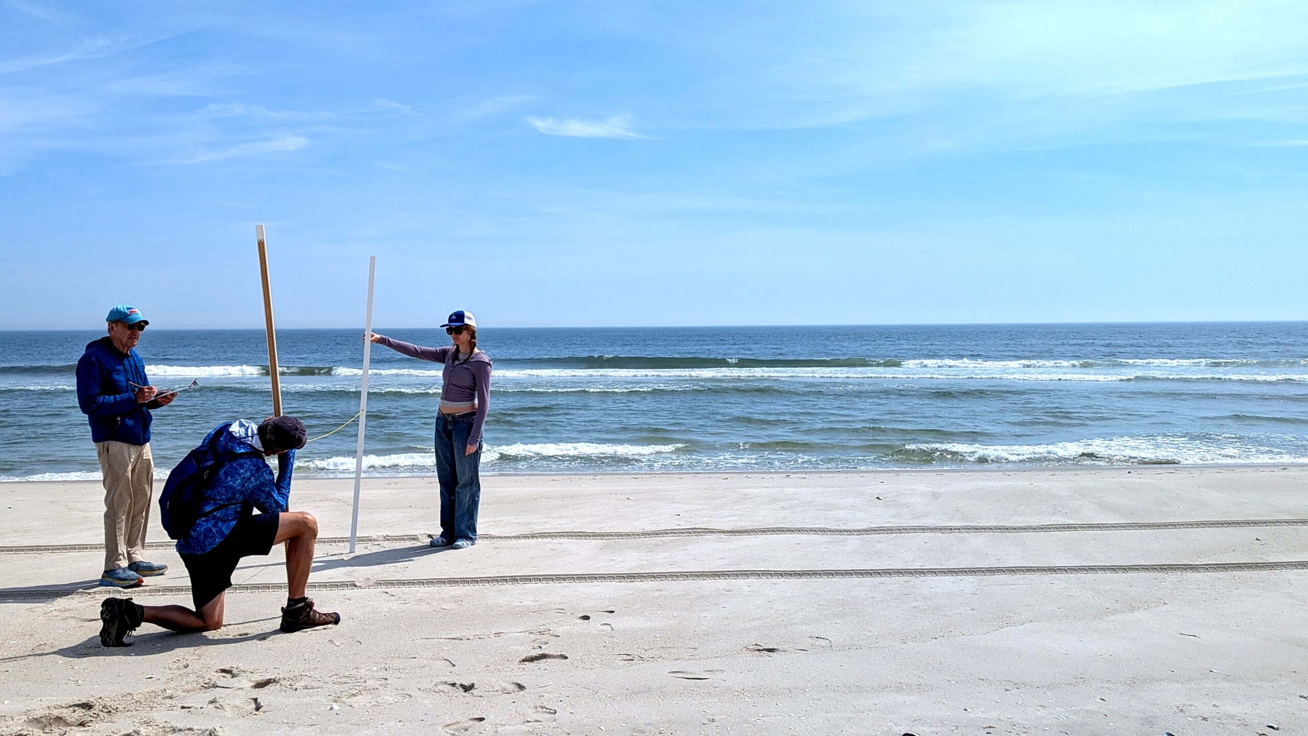
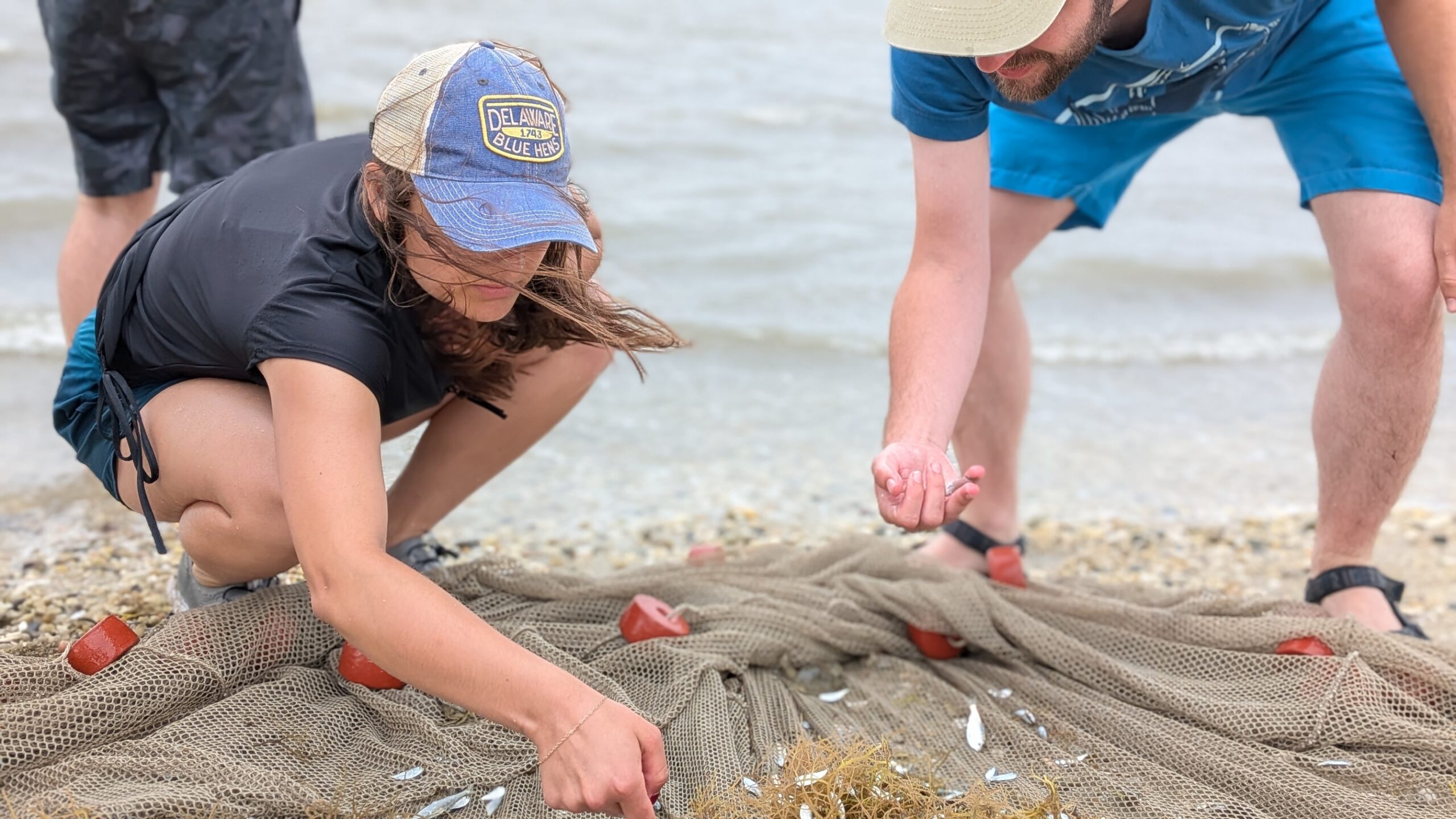
Through collaborative research, the Barnegat Bay Partnership addresses environmental challenges impacting the estuary’s ecosystem. With contributions from staff and partners, research findings are shared widely, influencing management plans and driving restoration efforts.
EDUCATION
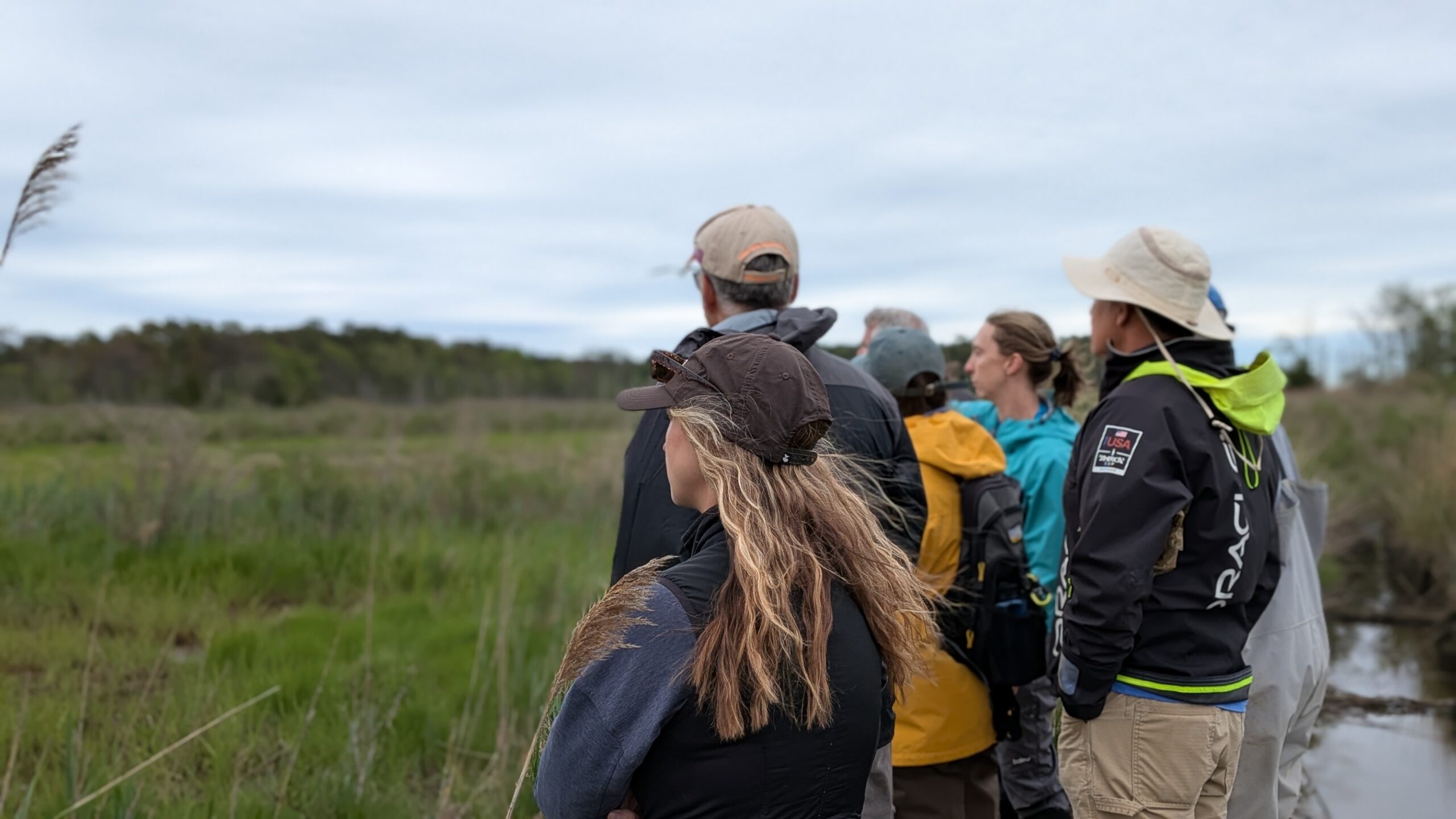
The Barnegat Bay Partnership is dedicated to improving coordination among partner organizations to maintain two-way interaction with stakeholders and target audiences.
COMMUNITY
The Barnegat Bay Partnership provides opportunities for the community to contribute to our mission through community science projects, outreach, education, and stewardship.
ENGAGEMENT
The Barnegat Bay Partnership welcomes volunteers for many of our initiatives. Volunteers receive training and contribute to conservation efforts through hands-on projects and community involvement.
What We Focus On
Water Quality
Safeguarding and enhancing water quality by addressing the root causes of pollution and degradation, ensuring a healthier ecosystem for all.
Water Supply
Safeguarding and enhancing water quality by addressing the root causes of degradation, ensuring clean and healthy water systems for all.
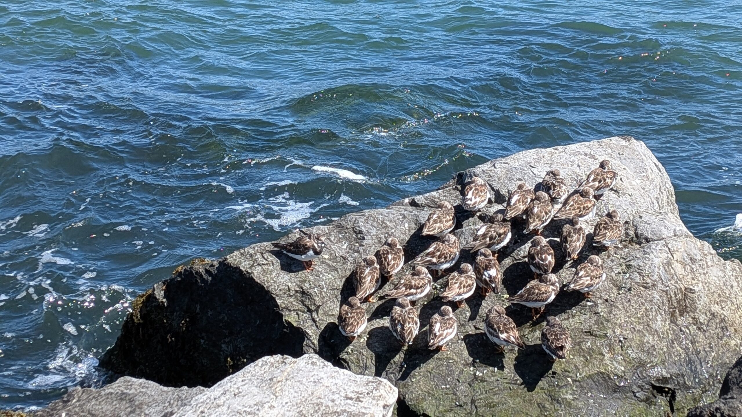
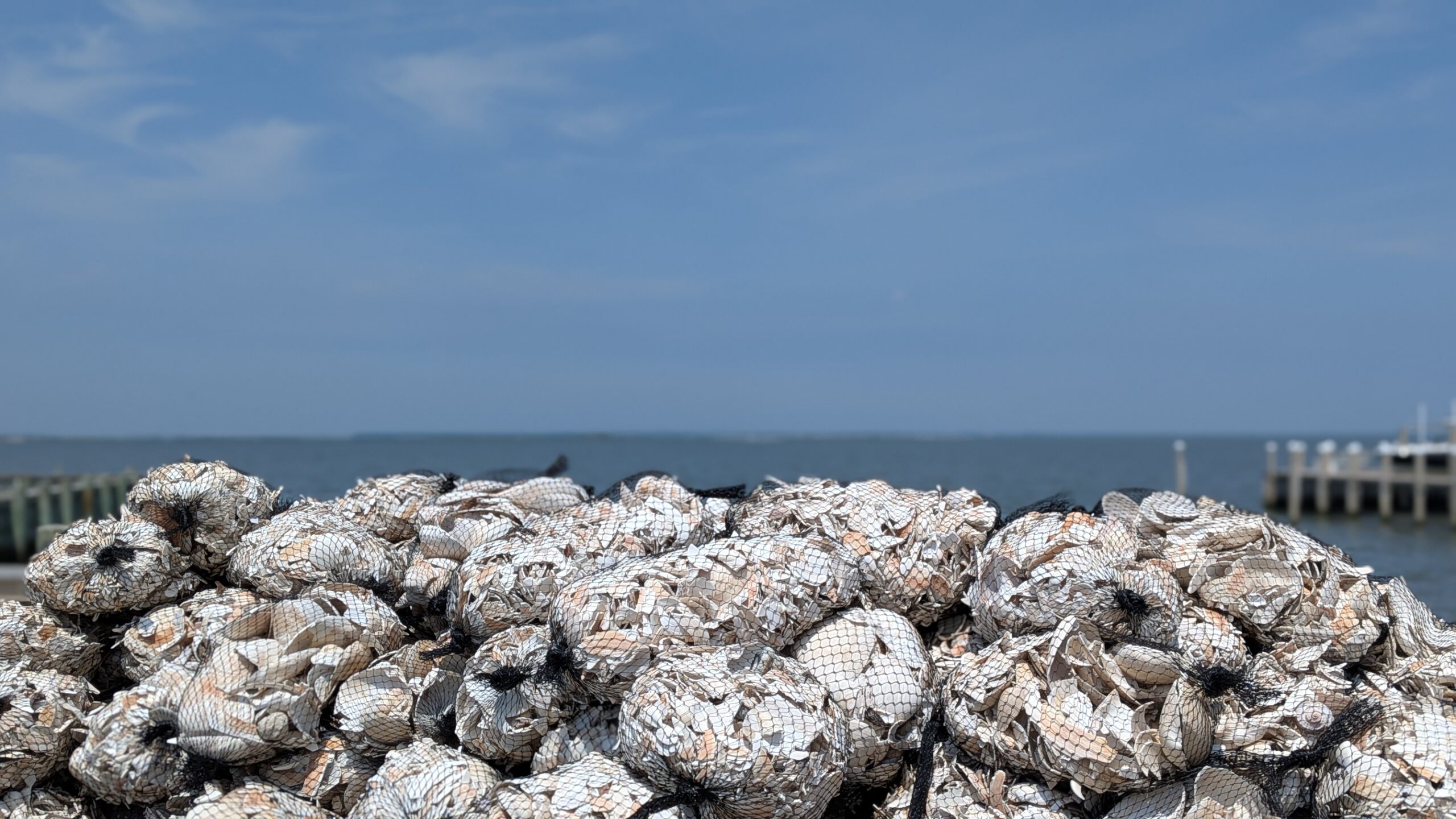
Living Resources
Conserving and restoring critical habitats within the watershed, promoting ecosystems that sustain diverse plant and animal species.
Land Use
Securing a reliable and sustainable water supply for both human communities and the surrounding ecosystems, now and in the future.


Our Focus Areas
Water Quality
We work to protect and improve water quality by reducing the causes of water quality degradation to achieve swimmable, fishable, and drinkable water, and to support aquatic life.
Water Supply
We are working to ensure adequate water supplies and flow into the Barnegat Bay watershed for ecological and human communities now and in the future.
Living Resources
We aim to protect, restore, and enhance habitats in the bay and its watershed as well as ensure healthy and sustainable natural communities of plants and animals.
Land Use
We work to improve and sustain collaborative regional approaches to responsible land use planning and open space preservation and improve soil function, water quality, water supply and living resources.
Stewardship
The Barnegat Bay Partnership is committed to reaching the 560,000 people of the Barnegat Bay Watershed through a variety of different opportunities. From becoming a Jersey Friendly Yard Certified Citizen to a Volunteer Master Naturalist, it is our mission to empower stewardship throughout the Watershed Managament Area through hands-on experiences and opportunities.
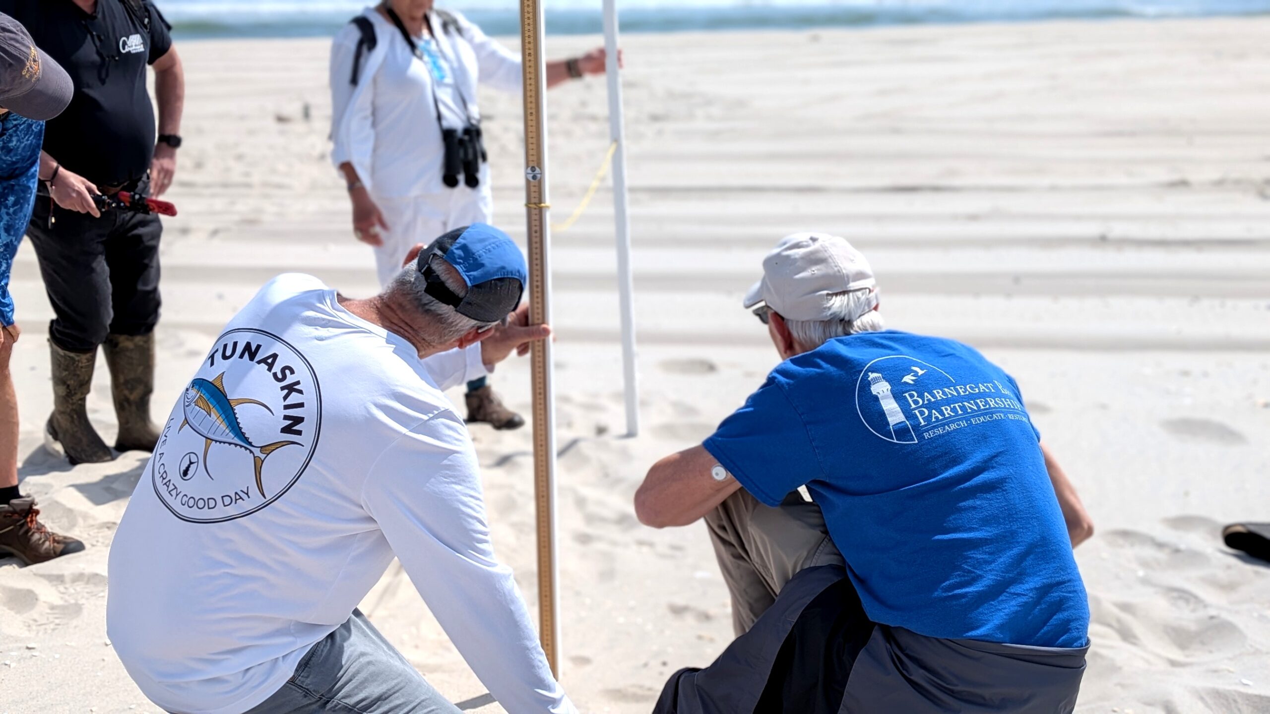
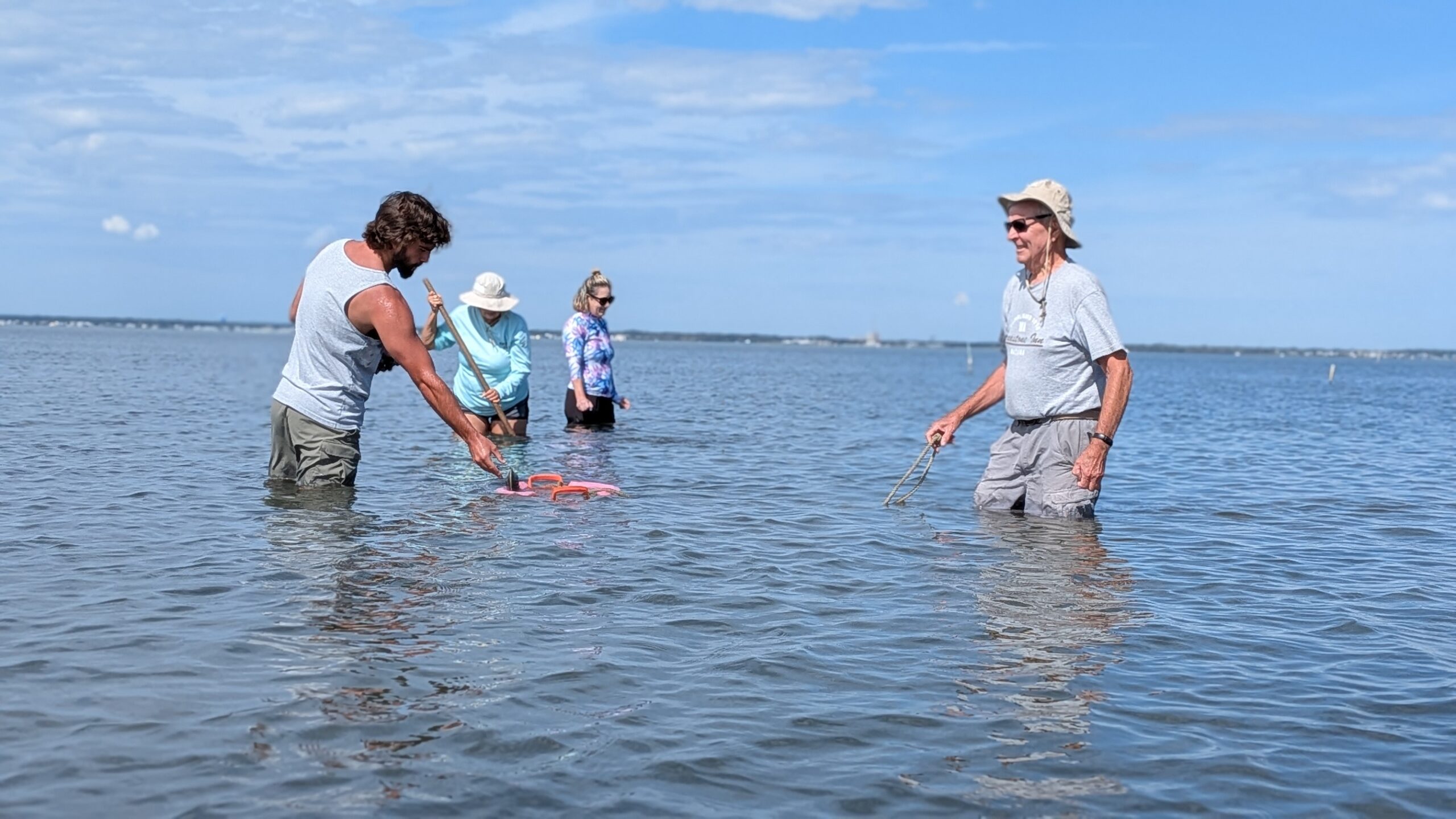
Paddle for the Edge Community Science
Join volunteers to paddle the bay and collect shoreline metrics. This data helps monitor shoreline health, predict environmental changes, and identify areas for restoration.

Barnegat Bay Blitz Community Cleanup
Volunteer for the annual cleanup event, that brings together hundreds of volunteers with one goal in mind – keeping our land and water clean by removing litter from our neighborhoods.

Become a Master Naturalist
Learn about Barnegat Bay’s ecology and share your knowledge with others by becoming a Volunteer Master Naturalist. This program includes training in the skills and techniques volunteers use to help educate others about the bay and good stewardship of its valuable resources.


Create Your Jersey-Friendly Yard
Transform your outdoor space into a Jersey-Friendly Yard! Discover eco-friendly landscaping practices and get certified to show your commitment to a healthier environment.
Feel free to reach out to us directly to learn more about our work
Explore the impactful initiatives that are shaping the future of environmental conservation and protection.