
Building Dunes with 30,000 New Plants at Island Beach State Park
Thanks to the 335 volunteers who came out on a beautiful December day, 30,000 American beachgrass (Ammophila breviligulata)…
Thanks to the 335 volunteers who came out on a beautiful December day, 30,000 American beachgrass (Ammophila breviligulata)…

On Friday, June 8th, thousands of volunteers will join NJDEP staff for the ninth Barnegat Bay Blitz, a…

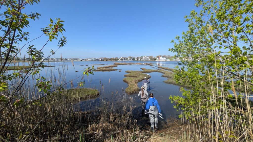
Article by Christine Thompson, Assistant Professor of Marine Science, Stockton University. A foggy day in late May brought…

Cattus Island is a 530-acre Ocean County park offering miles of hiking trails, scenic boardwalks, and plenty of…

Tucked in northern Barnegat Bay, the 20-acre Nellie Bennett Salt Marsh has long served as a buffer against…

Spanning over 160 small islands in Barnegat, Little Egg, Great, and Absecon Bays, New Jersey’s bay islands form…

On November 7, a diverse group of nonprofit, state, public, and academic partners gathered on the Kean @…
For those of us at the Barnegat Bay Partnership, the health of our coastal ecosystems isn’t just a…

