Cattus Island is a 530-acre Ocean County park offering miles of hiking trails, scenic boardwalks, and plenty of opportunities for birdwatching, photography, environmental education, and outdoor exploration. Like many other portions of the Barnegat Bay, the park has experienced significant shoreline erosion—losing over 300 feet in some areas—due to factors including storm tides, and wave action, and fetch (wind energy) coming across the bay. While erosion is a relatively natural process, excessive degradation like that of the shoreline in this park threatens not only the park’s diverse habitats but also nearby communities.

In response to these challenges, Ocean County secured a $3 million Water Quality Restoration Grant from the New Jersey Department of Environmental Protection (NJDEP) in 2018. This funding supports a four-year living shoreline restoration project aimed at stabilizing critical areas of the park, particularly the northeast peninsula of the park known as Page’s Point, a critical area for restoration, as its degradation has exposed adjacent regions like Yellowbank to increased erosion.
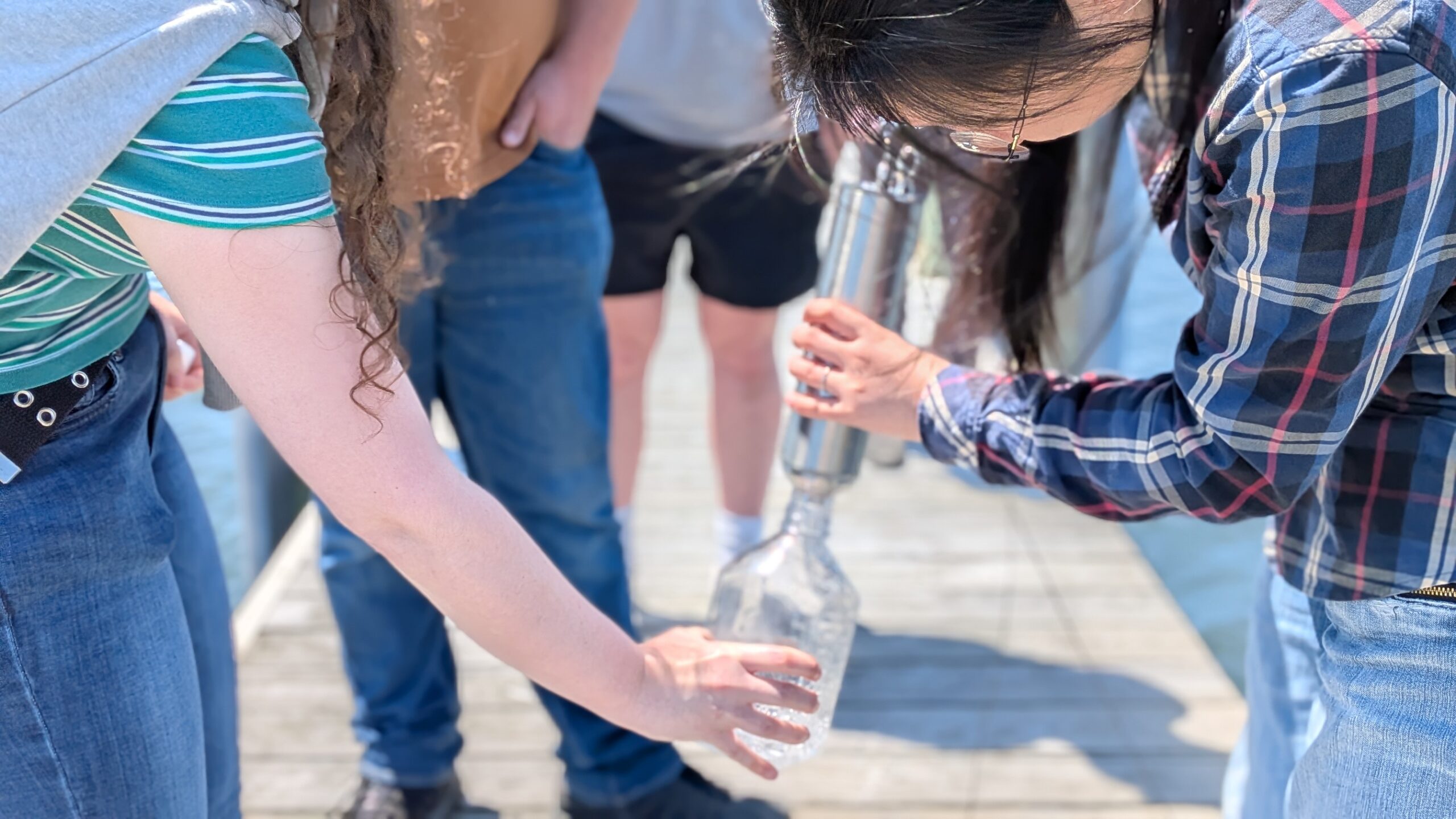
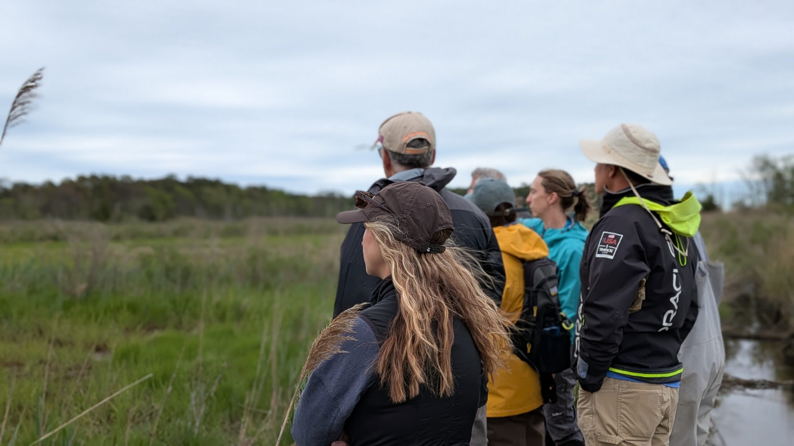
The project is a collaborative effort among agencies throughout the watershed, including vision and guidance from the Barnegat Bay Partnership, Ocean County Parks, US Fish and Wildlife, NJ Fish and Wildlife, NJDEP, NJDOT Office of Marine Resources, Ducks Unlimited, and NOAA. The Stevens Institute of Technology, renowned for their expertise in marine engineering and hydrodynamics, has been engaged as the primary partner to conduct comprehensive site assessments, collect data on shoreline changes, water levels, wave patterns, and more. This data will inform the design and implementation of effective restoration strategies.

Beyond ecological benefits, the restoration project serves to protect nearby neighborhoods from tidal flooding and erosion. Page’s Point acts as a natural breakwater, shielding areas like Shelter Cove Park, which encompasses over 800 homes and several businesses. By reinforcing the shoreline, the project aims to enhance the resilience of both natural habitats and human communities.
As the project progresses through its phases—from data collection and planning to implementation and public outreach—it stands as a model for coastal resilience and environmental stewardship. The Cattus Island Living Shoreline Restoration Project exemplifies how science, collaboration, and proactive planning can address the pressing challenges of shoreline erosion and habitat loss.