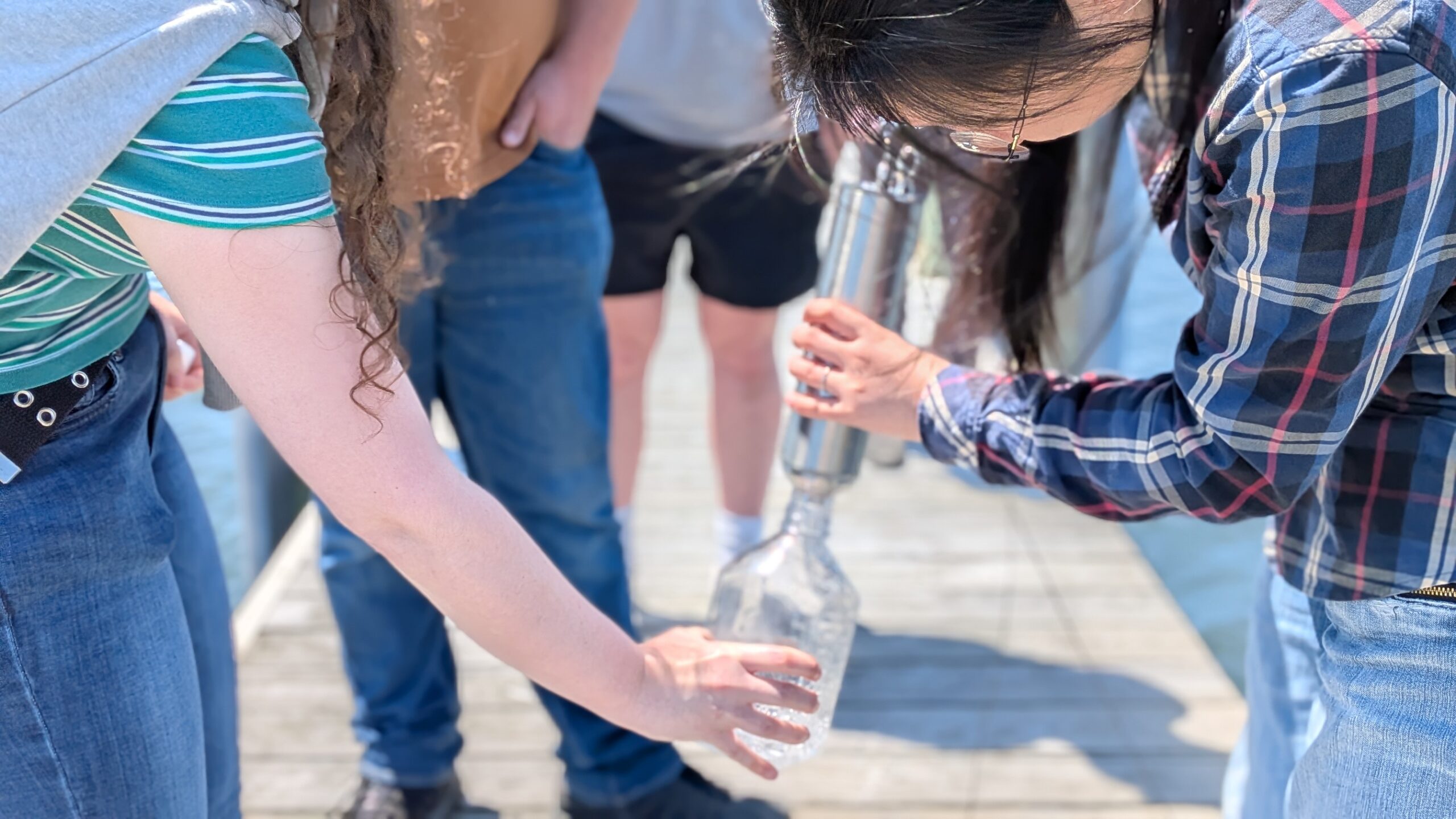
Tucked in northern Barnegat Bay, the 20-acre Nellie Bennett Salt Marsh has long served as a buffer against flooding, a home for wildlife, and a space for recreation. But decades of degradation—subsidence, vegetation loss, and shoreline erosion—have left nearly 60% of the marsh transformed into mudflat, threatening nearby infrastructure and natural habitats.

In response, the Barnegat Bay Partnership (BBP) and the Borough of Point Pleasant, assisted by Matrix New World Engineering, launched a nature-based restoration effort in 2023 to improve the degradation of this 20-acre span of marsh.
Why It Matters
Healthy salt marshes protect homes, schools, and water treatment facilities from storm surge and flooding. For Point Pleasant, that means protecting key landmarks like Nellie Bennett Elementary School and the Point Pleasant Water Treatment Plant. The marsh also ranks as a top priority for intervention, earning a 9.5/10 on the Community Exposure Index (part of NFWF’s CREST tool) due to its proximity to vulnerable infrastructure.
A Nature Based Approach

The proposed restoration plan uses innovative, sustainable techniques including:
Assisted Accretion – Placing clean dredged material to rebuild marsh elevation and encourage vegetation regrowth.
Shoreline Stabilization – Strategic use of rip-rap, lagoons, and coir log-stabilized shorelines to reduce erosion and improve wildlife habitat.
Native Planting – Re-establishing maritime forest vegetation as well as low and high marsh to improve biodiversity and resilience.
Tidal Channel Development – Enhancing natural water flow and sediment transport to improve marsh health.
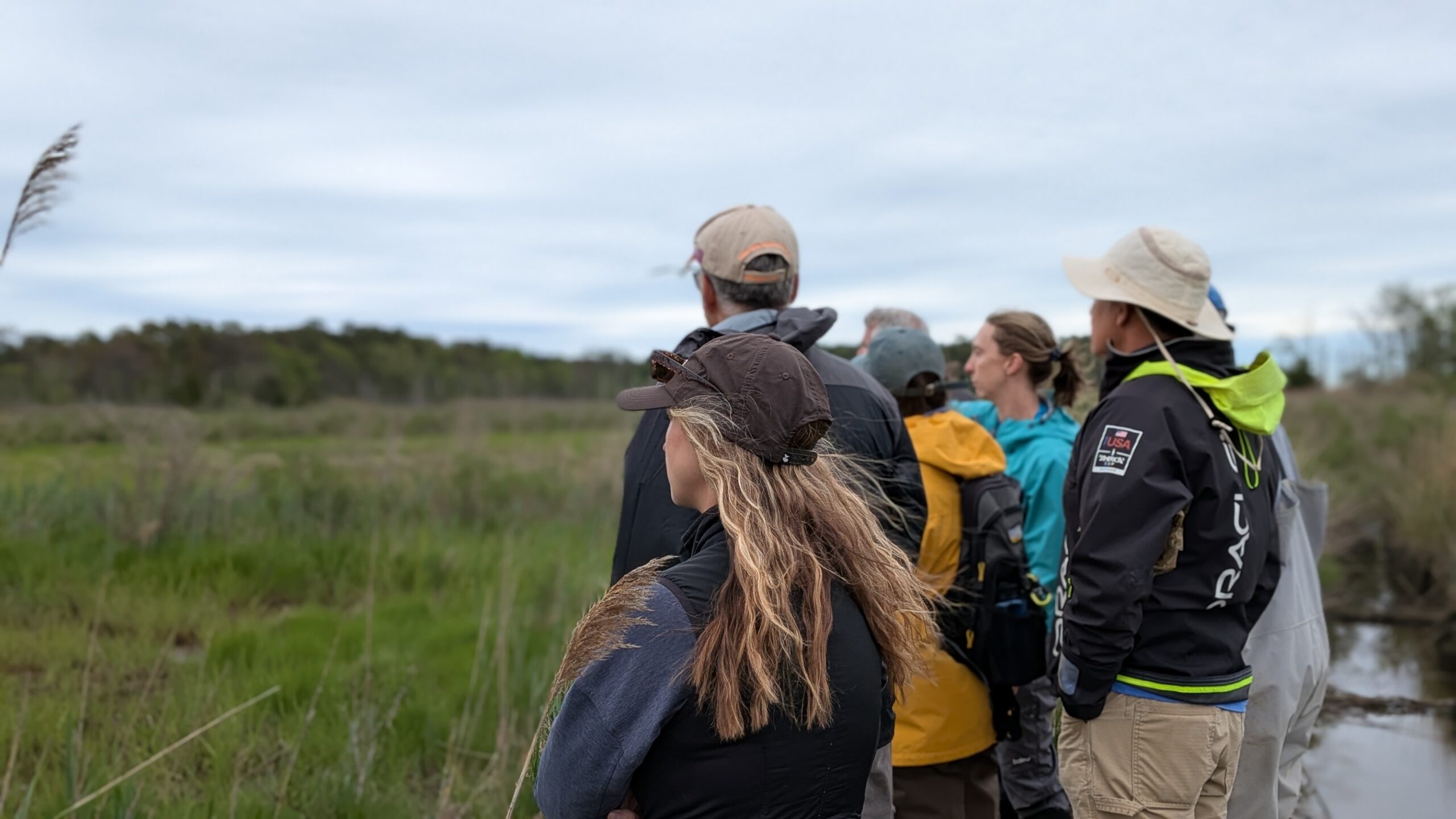
Community at the Core
From the start, the project has prioritized community engagement. Stakeholders—including local residents, school leaders, town officials, and HOAs—have been involved in shaping goals, voicing concerns, and supporting the project’s direction. Through public meetings, surveys, and agency collaboration, the restoration effort reflects both ecological science and community values.
Looking Ahead

The project has reached a 60% design milestone and continues to evolve through input from technical experts and resource agencies. Permitting is underway, and planning is guided by environmental data, projected sea-level rise, and a shared commitment to long-term sustainability.
The restoration of Nellie Bennett Marsh isn’t just about saving a wetland—it’s about protecting a community, rebuilding resilience, and setting a model for coastal restoration across New Jersey.
To learn more, visit The Barnegat Bay Partnership’s page highlighting the Restoration Project.