August 18, 2026

Restoration Efforts Continue with Pre-Implementation Monitoring at Cattus Island County Park

by Nina Sassano

Monitoring Cattus Island County Park

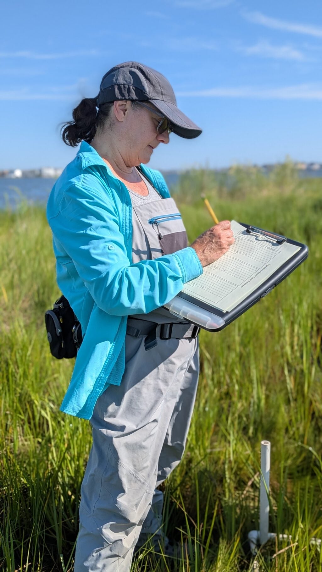
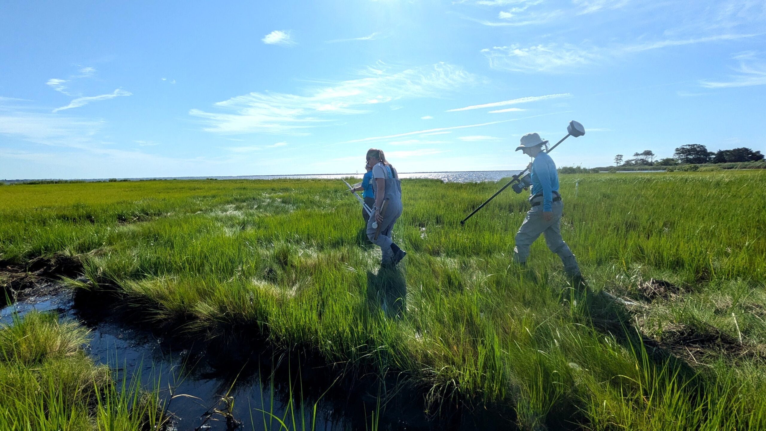
The Cattus Island Living Shoreline Restoration Project is moving forward, and the Barnegat Bay Partnership team was recently out at Page’s Point helping document what the marsh looks like before restoration begins. 

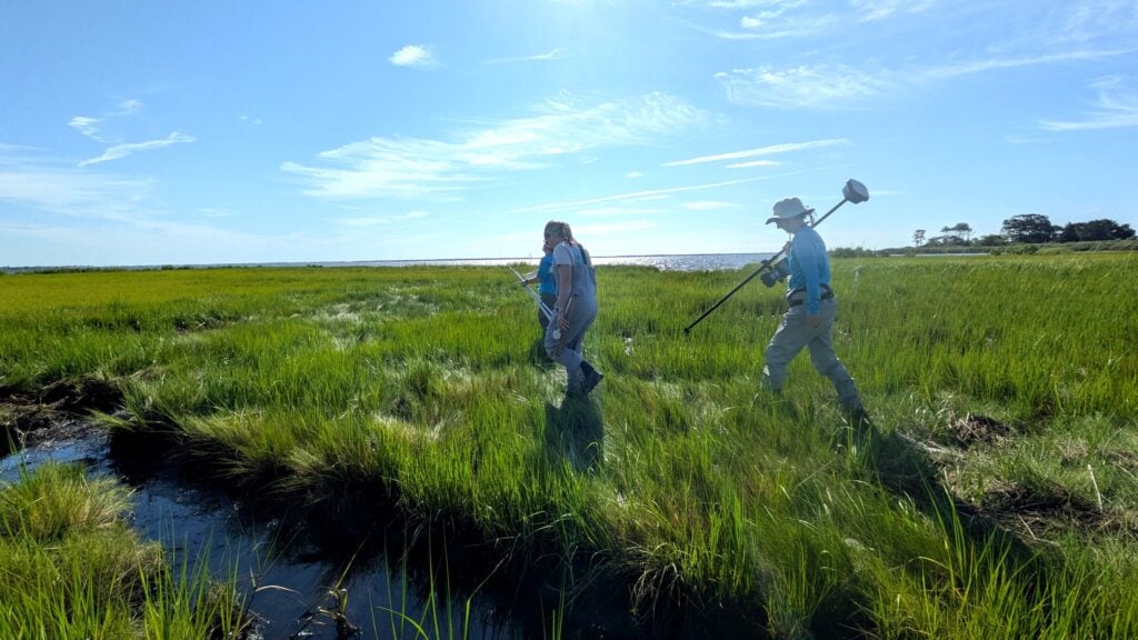
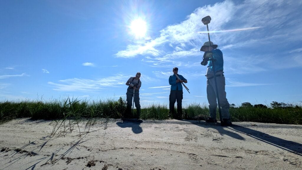
BBP staff collected baseline information on the vegetation and conditions across the existing marsh platform, including GPS and elevation data, plant species and percent cover, mussel counts, and vegetation blade heights. These measurements give us a picture of the marsh as it exists today. After construction, we will be able to return to the site and collect similar data to see how the marsh responds to the restoration over time. 
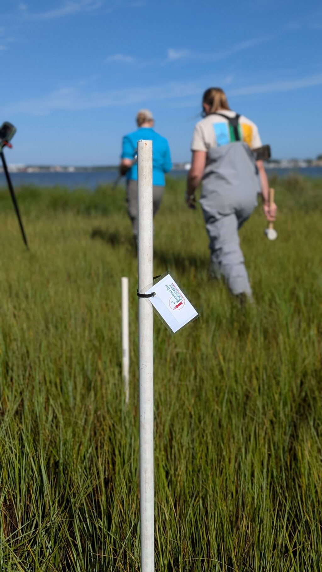
This monitoring is one part of a much larger effort to protect a particularly vulnerable stretch of shoreline at Cattus Island County Park. 

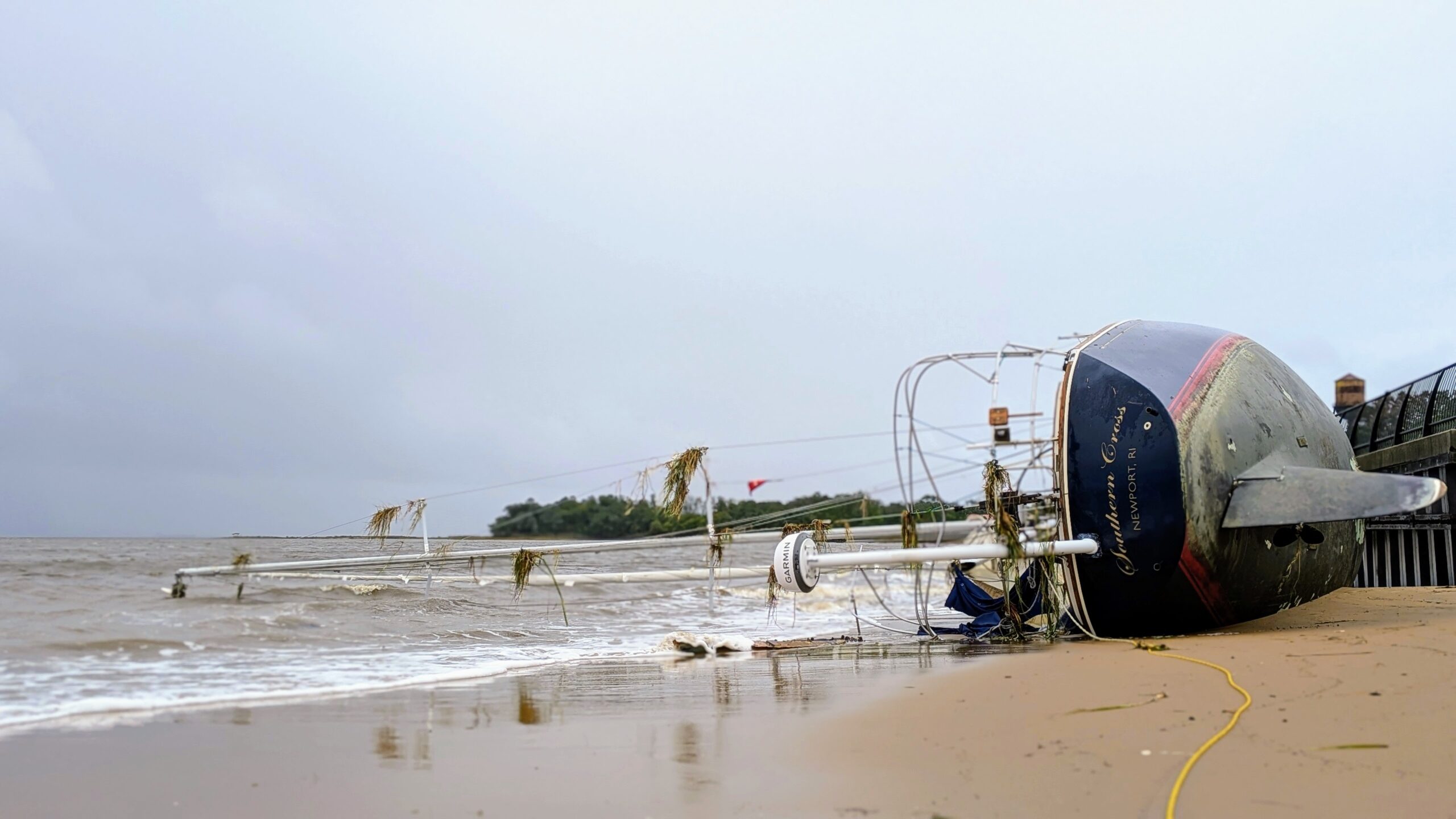
Cattus Island is a 530 acre Ocean County park along Barnegat Bay, with salt marshes, forests, trails, and shoreline habitats that provide important habitat for wildlife and recreational opportunities for the community. Like many places along Barnegat Bay, however, portions of the park have experienced significant shoreline erosion. In some areas, more than 300 feet of shoreline has been lost due to storm tides, wave action, and other natural coastal processes. 

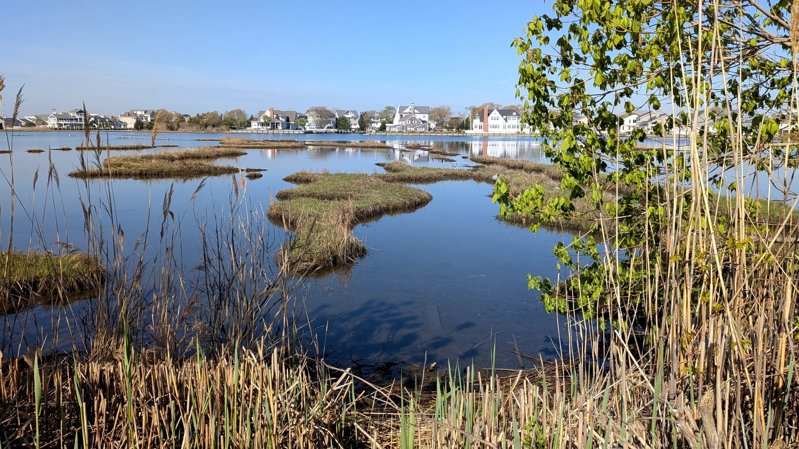
One area experiencing particularly rapid erosion is Page’s Point, a peninsula along the northeastern portion of the park. The current phase of the Cattus Island County Park Living Shoreline Restoration Project focuses on this area, where approximately 1,500 feet of living shoreline is planned for construction. 

PXL 20260804 130425625 1024x576
Stands of dead trees, known as “ghost forests” show that rising levels of salt water are moving further inland into areas that once relied on fresh water.

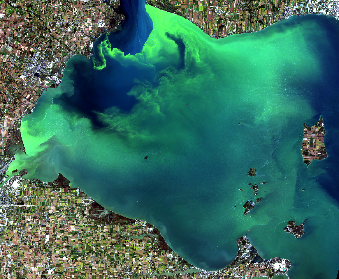
The larger goal of the project is to restore critical shoreline areas at Cattus Island and help prevent continued wetland loss in Barnegat Bay. Rather than relying solely on traditional hardened shoreline structures, the project incorporates restoration approaches intended to preserve the marsh and the habitats within and around it. The project is also designed to help address sediment driven turbidity in nearby Silver Bay. 

Getting to this point has taken years of research, planning, engineering, and collaboration. Ocean County received a $3 million Water Quality Restoration Grant from the New Jersey Department of Environmental Protection in 2018 to support the project. Since then, the effort has brought together Ocean County Parks, the Barnegat Bay Partnership, NJDEP, the U.S. Fish and Wildlife Service, NJ Fish and Wildlife, the New Jersey Department of Transportation Office of Maritime Resources, Ducks Unlimited, NOAA, Stevens Institute of Technology, and other partners. 

Earlier work included extensive site assessments to better understand what was happening along the Cattus Island shoreline. Stevens Institute of Technology collected information on shoreline change, water levels, wave patterns, and other physical conditions to help guide the restoration design. 

PXL 20260804 132121154 1 1024x576

Now, as the project moves closer to construction at Page’s Point, BBP’s baseline monitoring will help establish an important starting point. Knowing which plants are growing there, how much of the marsh they cover, where mussels are present, and the elevation of the marsh gives us information we can return to after restoration. 

That before and after comparison will help us better understand how the marsh responds as the living shoreline is established. It is also a good reminder that restoration does not begin and end with construction. Careful monitoring before and after the work is an important part of understanding whether these projects are doing what they were designed to do and how the shoreline changes over time. 

After years of planning and collaboration, we are excited to see this next phase of restoration at Cattus Island move forward and to contribute to documenting what happens along the way. 

Explore More Insights from Barnegat Bay

Dive deeper into the ongoing efforts to protect and restore our environment with more updates and initiatives that you can take part in. Check out our latest blog posts for valuable tips and insights.

UNKNOWN

There is limited data available to quantify Wetland and Riparian Buffer Preservation, or updated data to quantify Wetland Acreage. The BBP has obtained funding and will begin assessment efforts for both targets, in the next few years.


 Hard Clam abundance has not been updated since 2012. Recovery of the stock will be guided by the Fishery Management Plan for Hard Clams, which is under development with the NJDEP, BBP, and other organizations. Reclam the Bay and other partners have continued to plant clams for restoration purposes. Continued plantings in strategic locations which maximize survival and reproduction is one strategy to pursue in the coming years. This work can use a model developed by Rutgers with BBP funding which identified areas where planted clams could have the greatest dispersal of their larvae and thus potentially maximally contribute to the recovery of the stock.

 Water Withdrawals were over the target in the 2021 report; USGS has not yet completed its latest update, so a definitive determination of status is not available. However, additional NJDEP data show that it is likely that we continue to not meet the target. Per capita water use has gone down, demonstrating the effectiveness of water-saving appliances and practices, but that decrease has been offset by population gains. 


IN PROGRESS

New maps quantifying Submerged Aquatic Vegetation extent were developed, but poor image clarity resulted in a high degree of uncertainty in the total acreage. NJDEP and Rutgers are working to resolve the uncertainty of these maps, and improve the total acreage estimate. Funding has also been obtained for further research and restoration activities. Several groups are developing potential restoration actions.

The USGS has completed the first phase of its study to identify minimum ecological flows in select Barnegat Bay tributaries. USGS scientists compared streamflow statistics between historical and current time periods to better understand trends in watershed flow conditions. This work provides a foundation for developing ecological flow targets in the Barnegat Bay watershed.  Similar to SAV extent, funding (approximately $450K) has been obtained by the BBP to complete the remaining phases necessary for threshold determination.


TARGETS ACHIEVED

No targets can be considered “Achieved” at this time.


NOT ACHIEVING

Several Public Swimming Beaches exceeded their safe swimming standards more frequently than during their baseline time period (2016-2018).

While most beaches are routinely safe for swimming, several problematic areas such as Beachwood, Hancock, Windward, and several lake beaches need track-down studies and restoration to pinpoint and address sources of bacteria.

Acres of Approved Shellfish Waters decreased from the last report. While this decrease was small, it represents a loss of previously approved waters. Similar to public beaches, track-down studies and restoration work are needed to pinpoint and address sources of bacteria.


Restoration Efforts Continue with Pre-Implementation Monitoring at Cattus Island County Park

The Cattus Island Living Shoreline Restoration Project is moving forward, and the Barnegat Bay Partnership team was recently out at Page’s Point helping document what the marsh looks like before restoration begins. 

BBP staff collected baseline information on the vegetation and conditions across the existing marsh platform, including GPS and elevation data, plant species and percent cover, mussel counts, and vegetation blade heights. These measurements give us a picture of the marsh as it exists today. After construction, we will be able to return to the site and collect similar data to see how the marsh responds to the restoration over time. 
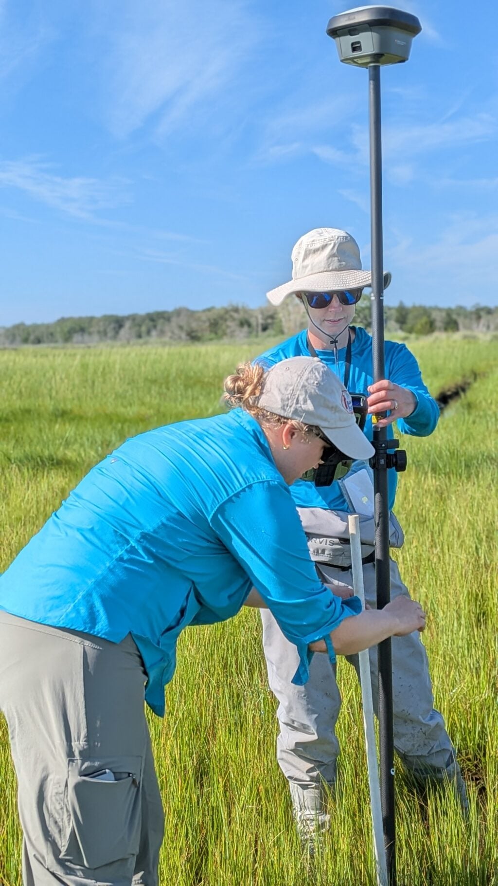
This monitoring is one part of a much larger effort to protect a particularly vulnerable stretch of shoreline at Cattus Island County Park. 

Cattus Island is a 530 acre Ocean County park along Barnegat Bay, with salt marshes, forests, trails, and shoreline habitats that provide important habitat for wildlife and recreational opportunities for the community. Like many places along Barnegat Bay, however, portions of the park have experienced significant shoreline erosion. In some areas, more than 300 feet of shoreline has been lost due to storm tides, wave action, and other natural coastal processes. 

One area experiencing particularly rapid erosion is Page’s Point, a peninsula along the northeastern portion of the park. The current phase of the Cattus Island County Park Living Shoreline Restoration Project focuses on this area, where approximately 1,500 feet of living shoreline is planned for construction. 
PXL 20260804 130425625 1024x576
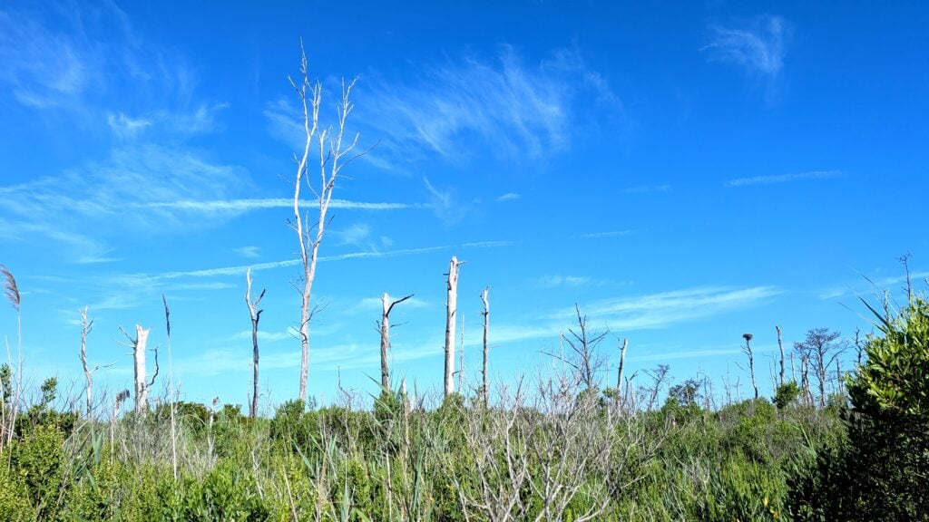
Stands of dead trees, known as “ghost forests” show that rising levels of salt water are moving further inland into areas that once relied on fresh water.

The larger goal of the project is to restore critical shoreline areas at Cattus Island and help prevent continued wetland loss in Barnegat Bay. Rather than relying solely on traditional hardened shoreline structures, the project incorporates restoration approaches intended to preserve the marsh and the habitats within and around it. The project is also designed to help address sediment driven turbidity in nearby Silver Bay. 

Getting to this point has taken years of research, planning, engineering, and collaboration. Ocean County received a $3 million Water Quality Restoration Grant from the New Jersey Department of Environmental Protection in 2018 to support the project. Since then, the effort has brought together Ocean County Parks, the Barnegat Bay Partnership, NJDEP, the U.S. Fish and Wildlife Service, NJ Fish and Wildlife, the New Jersey Department of Transportation Office of Maritime Resources, Ducks Unlimited, NOAA, Stevens Institute of Technology, and other partners. 

Earlier work included extensive site assessments to better understand what was happening along the Cattus Island shoreline. Stevens Institute of Technology collected information on shoreline change, water levels, wave patterns, and other physical conditions to help guide the restoration design. 
PXL 20260804 132121154 1 1024x576

Now, as the project moves closer to construction at Page’s Point, BBP’s baseline monitoring will help establish an important starting point. Knowing which plants are growing there, how much of the marsh they cover, where mussels are present, and the elevation of the marsh gives us information we can return to after restoration. 

That before and after comparison will help us better understand how the marsh responds as the living shoreline is established. It is also a good reminder that restoration does not begin and end with construction. Careful monitoring before and after the work is an important part of understanding whether these projects are doing what they were designed to do and how the shoreline changes over time. 

After years of planning and collaboration, we are excited to see this next phase of restoration at Cattus Island move forward and to contribute to documenting what happens along the way. 
Contact Restoration Efforts Continue with Pre-Implementation Monitoring at Cattus Island County ParkContact Restoration Efforts Continue with Pre-Implementation Monitoring at Cattus Island County Park
Monitoring Cattus Island County Park