Communities across New Jersey are increasingly experiencing the effects of recurring extreme weather events, including more frequent flooding, stronger storms, and visible changes to shorelines and coastal habitats. Understanding where and how these impacts occur is essential for identifying vulnerabilities in the estuary and supporting the development and implementation of effective adaptation strategies.
One of the most powerful tools supporting this effort is MyCoast: New Jersey, a public platform that empowers residents to document flooding and environmental variations in their own communities.


What Is MyCoast: New Jersey?
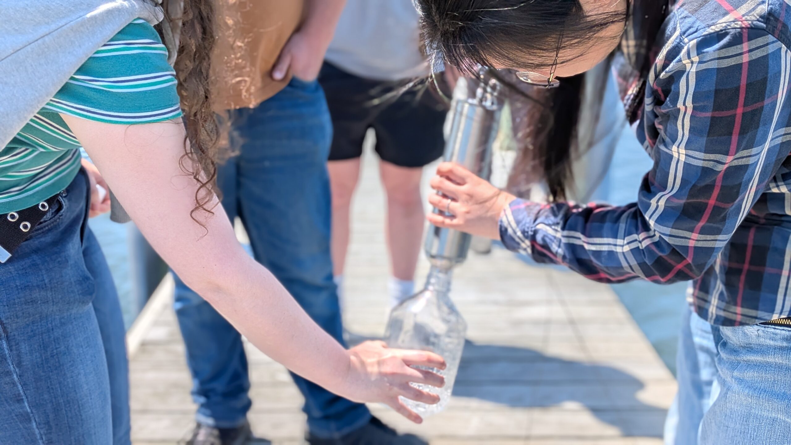
MyCoast: New Jersey is an online portal and mobile app designed to collect photos, stories of flooding, and changing coastal conditions. Each submission is linked with background data such as weather conditions and tidal levels, helping turn individual observations into information that can be used to assess urgent, emerging, and challenging issues affecting New Jersey’s estuaries and coastal communities.
Launched in 2021, MyCoast: New Jersey is a partnership between the New Jersey Department of Environmental Protection Coastal Management Program, the Jacques Cousteau National Estuarine Research Reserve, the Mid-Atlantic Regional Council on the Ocean (MARCO) and the Rutgers University’s Department of Marine and Coastal Sciences. MyCoast relies on community participation to build a clearer picture of flooding and shoreline change over time. Residents can take photos using the MyCoast mobile app or upload them later from a computer. Such reports may include flooding from heavy rainfall, storms, high tides, or visible changes to shorelines and wetlands. MyCoast retrieves relevant weather and tidal information to provide context for each submission.
Your Report Helps Inform Decisions
Planners, managers, and local leaders use this information to identify vulnerable areas, evaluate patterns of flooding that may be related to extreme weather, wetland degradation, accretion, or other coastal processes, and support efforts to strengthen coastal resiliency. Through this process, everyday observations help document conditions that would otherwise be difficult to capture across the entire state.


Why Community Science Matters
Flooding affects all parts of New Jersey, not just the oceanfront. Communities along rivers, bays, back-barrier lagoons, and inland areas experience flooding related to precipitation, tidal influence, and infrastructure limitations. Specifically, MyCoast helps capture repeated flooding in the same locations, flooding associated with high tides or storm events, shoreline and wetland changes, including accelerated land loss.
With many residents contributing observations, MyCoast creates a shared record that supports the identification and assessment of vulnerabilities in the estuary and helps guide practical, locally relevant responses.
MyCoast as a Community Resource
In addition to submitting reports, MyCoast allows residents to explore flooding information from across the state and better understand when and where flooding may affect their area. Creating a MyCoast account enables users to submit photos and stories, receive predicted high water alerts by email, and get real-time notifications through the mobile app. While an account is not required to view existing reports, registered users can stay informed about conditions near their local tide stations. Submitted photos may also be shared through outreach and social media to increase awareness and participation.
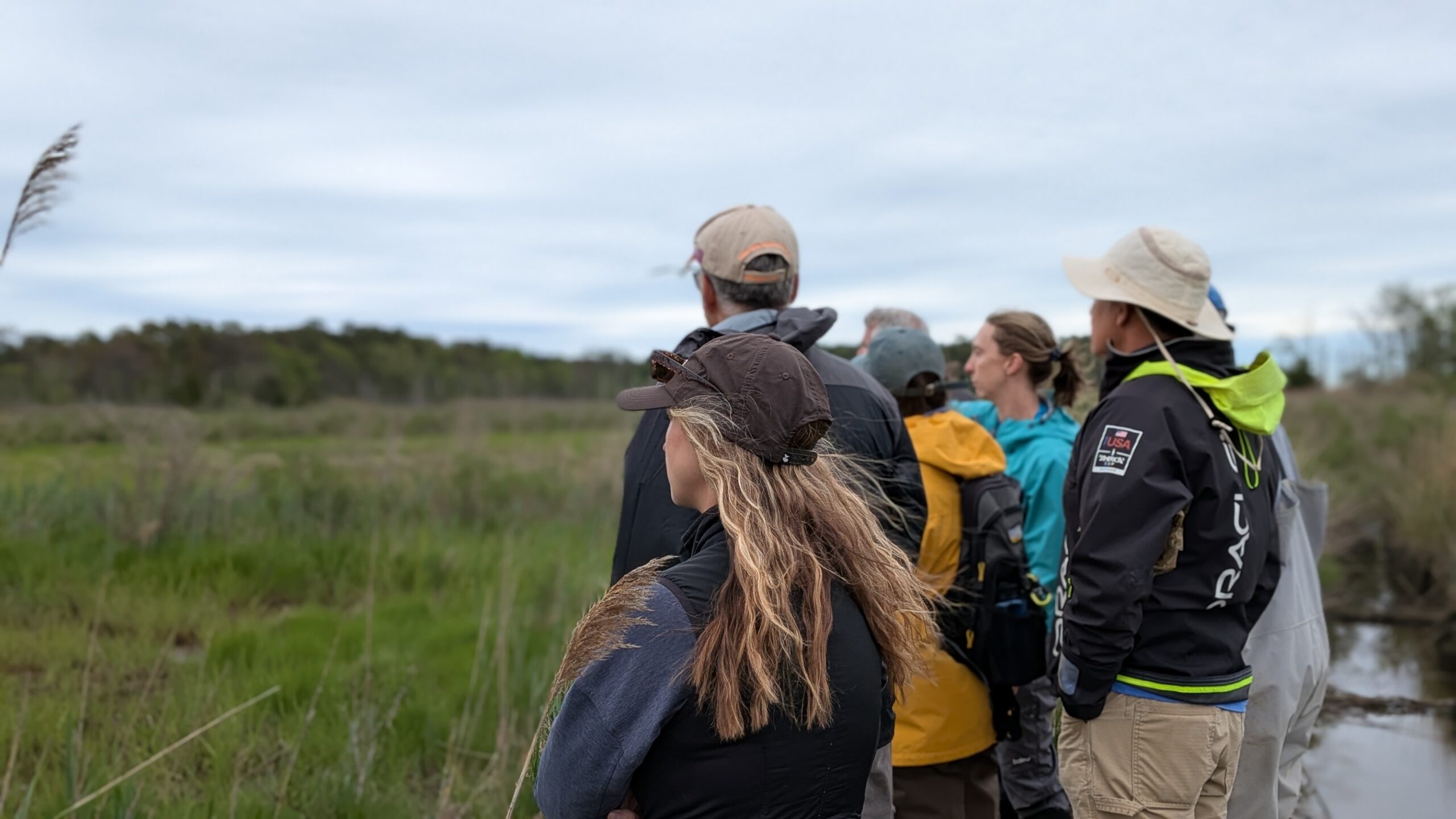
Tracking Shoreline Change with Photo Stations
MyCoast: New Jersey Photo Stations are located throughout coastal and estuarine areas where shorelines are continuously shaped by tides, storms, and erosion. These stations help standardize photos so changes can be tracked over time. To find a station, first, view the map on the MyCoast website (or above) that has each stationed pinned for open access. Once you find and arrive at a station, scan the QR code on the sign, follow the on-screen instructions, take a photo using the provided guidance, and finally upload your image to MyCoast to turn it into usable data. These repeated photographs at stations help document shoreline response to recurring extreme weather events and other coastal stressors, supporting long-term management and planning.
Remember: Anyone Can Participate.
MyCoast welcomes submissions from anywhere in the state. Photos from past flooding events are encouraged, as they allow comparisons over time and help identify long-term patterns. When uploading older photos, users are asked to confirm the date, time, and location to ensure accurate reporting. At this time, MyCoast accepts photos and written observations; however, videos are not supported. MyCoast: New Jersey demonstrates how citizen scientists can play a meaningful role in addressing coastal resiliency, accelerated land loss, and flooding related to extreme weather and wetland change. By contributing local observations, residents help build a shared understanding of conditions affecting New Jersey’s estuaries and coastal communities.
Follow @jacquescousteaunerr and @njcoastalmanagement on social media for alerts and announcements, and consider adding your observations to MyCoast!