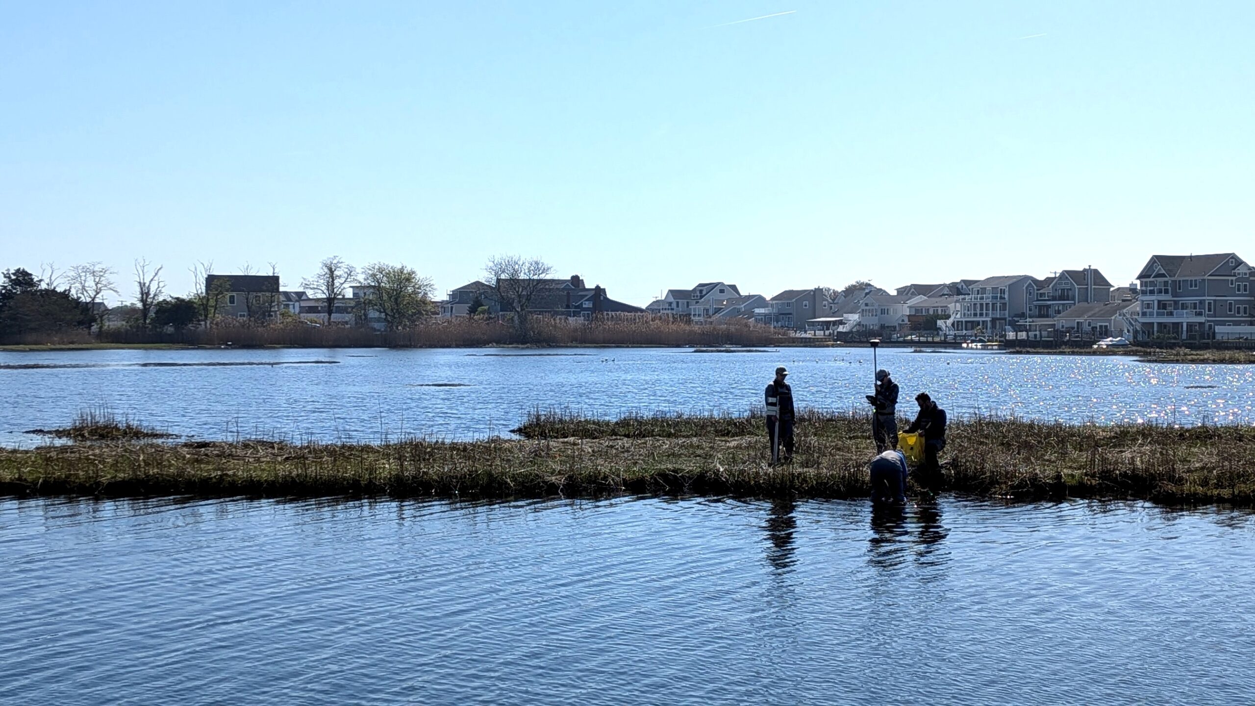
Elevating our Data: The BBP’s New Technology for Marsh Monitoring
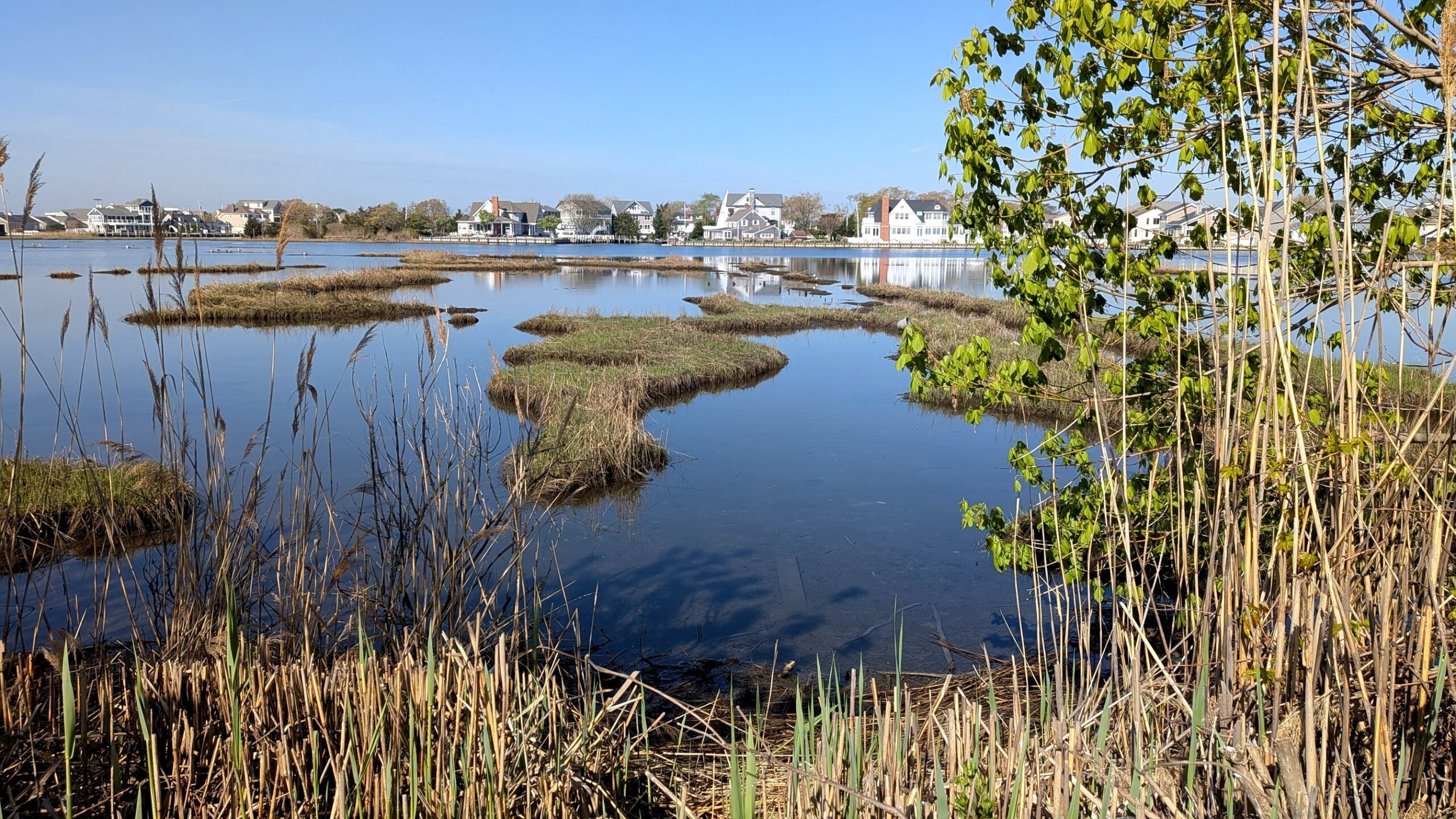
The Barnegat Bay Partnership and our partners are committed to protecting and restoring the saltwater wetlands of the Barnegat Bay. Salt marsh monitoring is critical because it helps scientists track how well land is keeping pace with fluctuations in water levels, while helping to understand the marsh’s ability to sequester carbon and provide wildlife habitat. BBP’s Paddle for the Edge program empowers community members to monitor marsh edges within the bay, helping to give a general snapshot of marsh edge conditions over time, however, this is just one piece of the entire puzzle.
To ensure that our salt marshes are at the highest capacity to serve as vital buffer against coastal flooding and storm surges, precise elevation along marsh platforms is critically important. The marsh platform is the bulk of land that sequesters carbon, acts as a buffer to increasing flooding, and provides habitat for hundreds of terrestrial and aquatic species.
The BBP has measured marsh elevation and subsidence at four sites in the Barnegat Bay watershed for the past 14 years. This dataset is extremely precise, allowing us to compare it to the precise water level fluctuation models for our bay.
But how do you ensure accuracy when measuring such small changes?
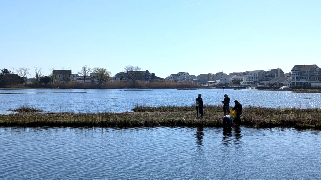
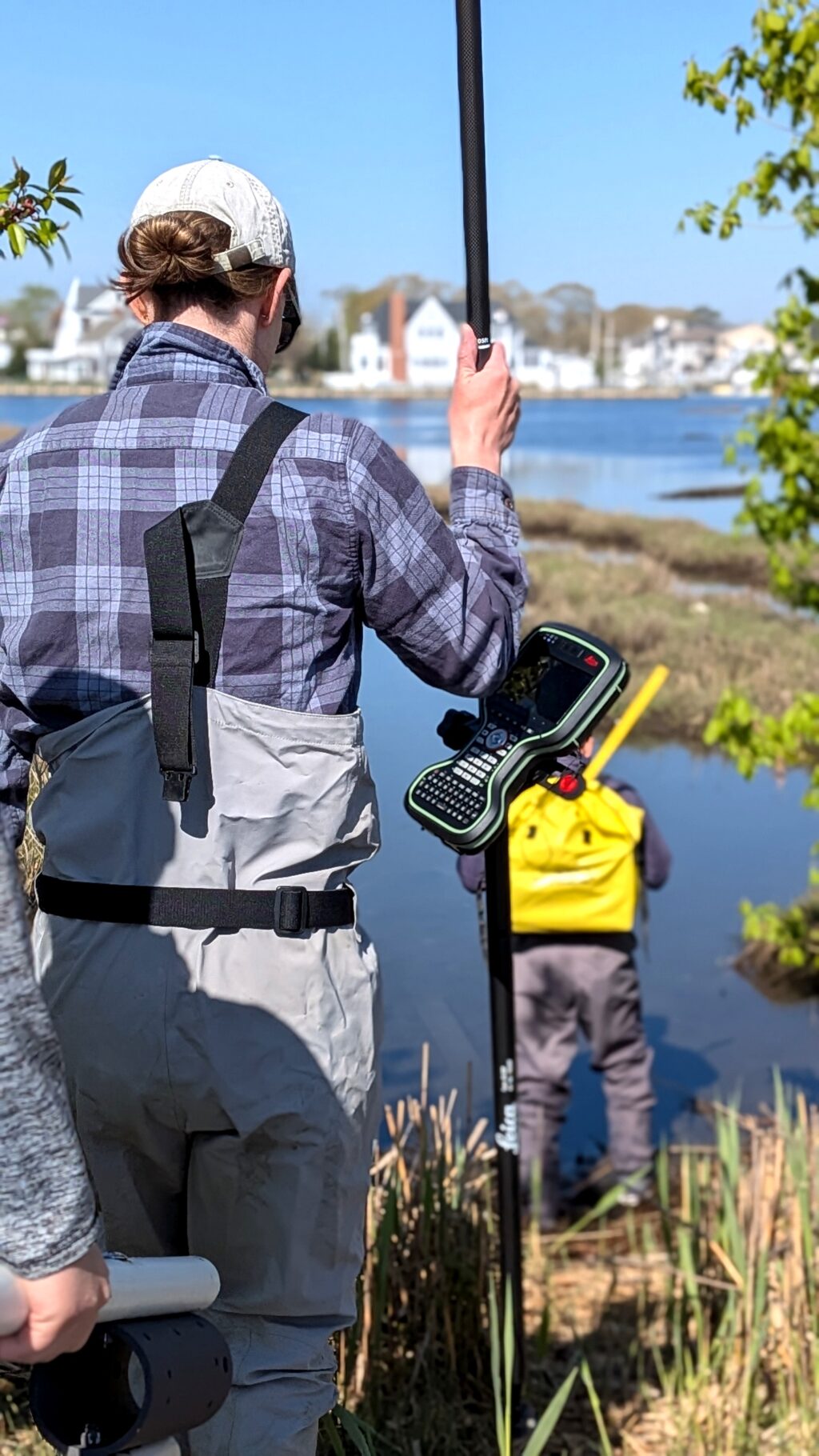
When there is so much room for error, it is important to have an additional set of eyes on the ground. That set of eyes is the BBP’s new model GS18 CS20 Real Time Kinematic Geographic Positioning System, or RTK GPS. This new piece of equipment funded by the EPA provides positioning and elevation data that is accurate within centimeters, making it ideal for a wide range of applications. Have you ever seen surveyors out on the road setting up a receiver pole and a tripod? Now we can do the same thing!
How does it work?
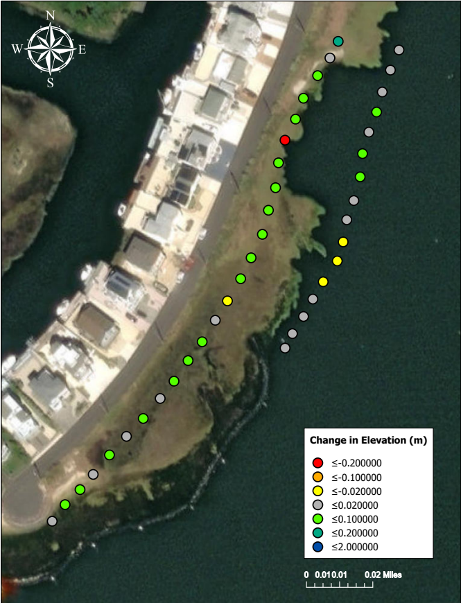
Whereas a handheld GPS or the GPS on your phone uses only satellites and occasionally barometric pressure to determine elevation, an RTK GPS uses a combination of satellite signals and additional data from a nearby base station to improve its accuracy. The NOAA CORS Network is a network of Continuously Operating Reference Stations that provide nonstop GPS data that various devices can pick up as long as they are on an internet network. During our field test, the RTK GPS picked up signals from 29 satellites and used local data from the Ocean County CORS base station located in Toms River.
This is not the BBP’s first go-around with an RTK GPS. In 2015, the BBP purchased a model GS14 CS15 RTK GPS that was used to collect elevation data at our four long-term wetland monitoring sites located at Reedy Creek, Island Beach State Park, and West Creek. Data was collected at the installation of the surface elevation tables and select following years to gain an understanding of how the surface of the marsh platform changes.
By upgrading to this newer, more advanced RTK system, we are ensuring that our ongoing research remains at the cutting edge of coastal science. Armed with higher satellite connectivity and faster processing speeds, our team can track even the slightest shifts in marsh elevation with greater efficiency. Ultimately, these precise measurements give us the critical insights needed to protect our local wetlands, helping the Barnegat Bay adapt and remain resilient against dynamic coastal shifts and shifting water levels.