As sea level rise, flooding occurs at higher and higher elevations. As flood patterns change, tidal marshes can slowly migrate upslope into low-lying forests. The conversion of forest to marsh is an important one—it is one of signals that sea level rise is affecting higher elevations in the estuary, where many people have positioned their homes. The first symptoms of this transition, however, are subtle. And so, we begin our study of this process by monitoring what’s happening below ground.
The depth of groundwater can have large effects on tree distribution and growth, even if it is less obvious than surface water. Plants need water, but their roots also need oxygen and should not be too wet. If the groundwater is shallow, there is a chance that roots will get too wet more often. Further, the depth to groundwater under forests that border tidal marshes might decrease as sea level rise pushes water to higher elevation. These are possible clues into how (and when) rising sea level might catalyze the conversion of forest to marsh.

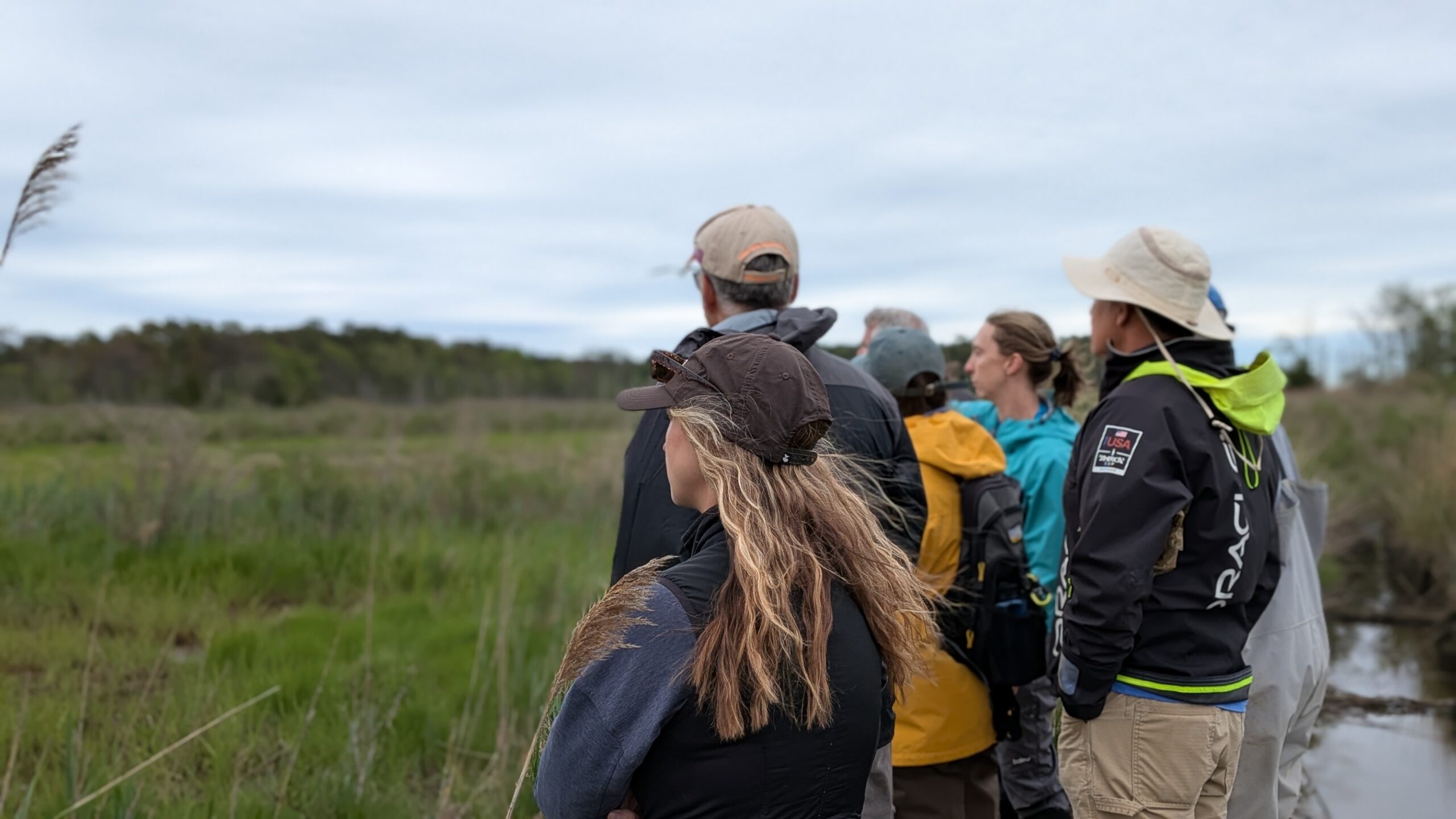
Starting in 2020, the Barnegat Bay Partnership and the Partnership for the Delaware Estuary installed groundwater wells at two coastal forest study sites in the Delaware Bay and two in Barnegat Bay. We installed three wells at each site: one in the marsh, one in the forest, and one in between. We sought to study groundwater patterns and the cause groundwater levels to rise higher than usual. So far, we have found that tides significantly affect the groundwater in these areas—even under the forest! Rain also has influence over groundwater levels. Where groundwater is less deep, a coastal storm with ample rain and surge could cause additional flooding. We hope to continue monitoring these groundwater wells so that we can get more information on these patterns. Ultimately, this information will help us understand the subtle signs of rising sea levels in these transitional spaces.