With funding provided by the New Jersey Department of Environmental Protection, the Barnegat Bay Partnership will be developing two Watershed Protection and Restoration Plans for Barnegat Bay sub-watersheds, one for Toms River and one for Cedar Creek, Forked River, and Oyster Creek. By targeting the protection and restoration of the water quality and natural resources in these sub-watersheds, the plans will benefit both local communities and the bay.
Toms River Watershed Plan
A virtual kick-off meeting for developing the Toms River sub-watershed plan will be on Tuesday, September 29th at 11 a.m. At 124 square miles, the Toms River is the largest sub-watershed of the Barnegat Bay and one of the two biggest freshwater sources to the bay. The Toms River sub-watershed includes all of Lakehurst, South Toms River, Pine Beach, Beachwood, and Island Heights Boroughs, a large portion of Toms River Township, and portions of Jackson, Manchester, Berkeley, and Lakewood Townships and Ocean Gate Borough.
Cedar Creek/Forked River/Oyster Creek Plan
Another major freshwater contributor to the bay is the 90 square mile area draining to Cedar Creek, Forked River, and Oyster Creek. This area includes large portions of Lacey and Ocean Townships as well as smaller portions of Manchester, Berkeley, and Barnegat Townships. The virtual kick-off meeting for developing the Cedar Creek/Forked River/Oyster Creek plan will be on Wednesday, September 30th at 11 a.m.
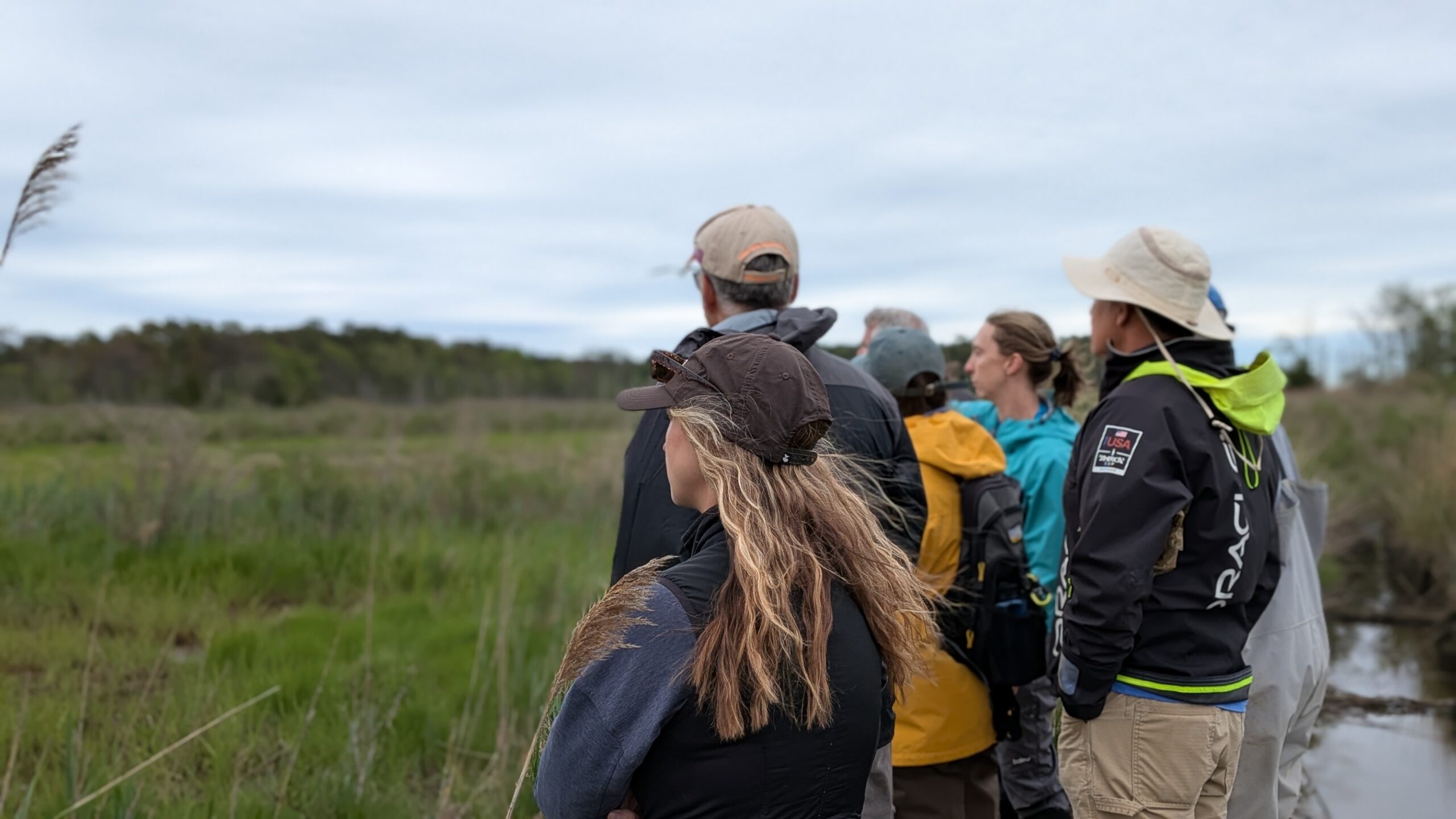
A Stakeholder Advisory Committee will be formed at each of the kick-off meetings to guide plan development from start to finish. Input from stakeholders at the community, municipal, county, and state level will ensure the plans benefit every municipality, as well as the region as a whole, both environmentally and economically.
If you have any questions about development of the plans, or would like to participate in either of the meetings, please email Ceili Pestalozzi at cpestalozzi@ocean.edu.