Tidal wetlands flood twice a day in the Barnegat Bay. As nature intended, tides rise, water floods the surface, and then drains as the tide falls. But as above, so below; the same tidal rise, fall, and flooding above ground also happen underground. The soil can occasionally flood underground because of tidal wetlands’ low-lying elevation.
Peat and plant roots that serve as the base of these wetlands are like sponges that soak in water. Although these plants are adapted to wet conditions, their roots still need oxygen and should not be too wet. Tidal wetlands that are too wet are vulnerable to drowning as sea-level rises. For the past year, the Barnegat Bay Partnership with Partnership for the Delaware Estuary have been plumbing the depths of tidal marshes to divine what information it holds.

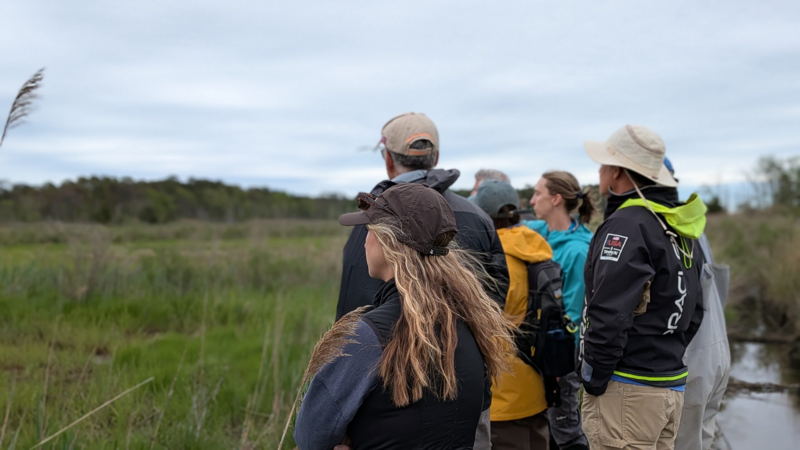
Last year, the team installed wells at four tidal marshes in Barnegat Bay to study and understand groundwater patterns, shallow groundwater levels, and what factors cause groundwater levels to rise higher than usual. This information will help them track how waterlogged ground affects tidal wetlands and perhaps design better future restoration plans for tidal wetlands.
One tactic that tidal wetland managers are exploring, called thin-layer placement, casts clean dredge material onto the tidal wetland surface to raise elevations. Groundwater levels show how underground flooding happens at the dredged material locations during this process. So far, the team has found that some sites are more saturated than others.
Barnegat Bay Partnership and Partnership for the Delaware Estuary will continue to monitor these wetland sites through this summer and hopefully beyond. Their findings will help practitioners, such as state and federal wetlands specialists, design wetland restoration projects.