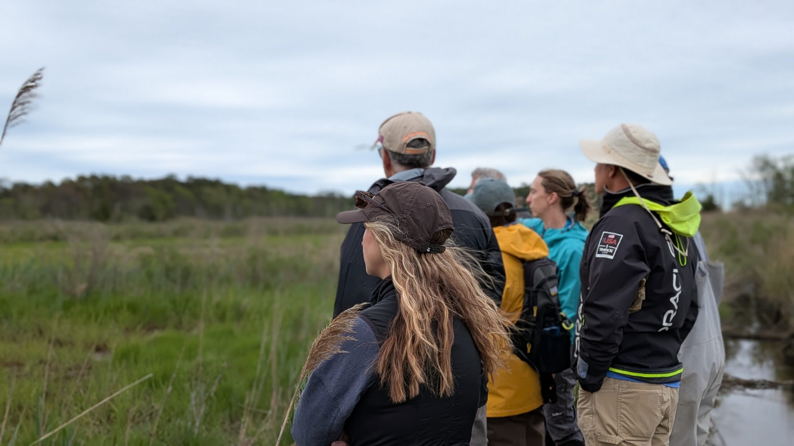
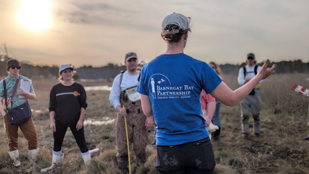
The Barnegat Bay Partnership joined Kean University’s Environmental Field Methods class in the marsh last week to introduce students to the methods of our long-term monitoring program. Led by Wetlands and Watershed Specialist Ceili Pestalozzi, students traveled into a wetland in Ocean County to perform a series of data collection techniques that are used by the BBP team in regular long-term marsh monitoring.

Pestalozzi spoke to the students about the BBP’s efforts to monitor wetlands and salt marshes in NJ. Wetlands aren’t just scenic; they are essential infrastructure. They act as massive natural filters, improving water quality by trapping pollutants. They absorb flood waters and provide a buffer from storm surge, they lock away carbon to help regulate the balance of the atmosphere, and the support commercial and recreational activities that help fuel our local economy.
Despite these benefits, we are losing them at an alarming rate. Since 1970, 22% of the world’s wetlands have vanished, driven by urban expansion and pollution. In the U.S. alone, we lost over 220,000 acres between 2009 and 2019.
Because of this, major networks of scientists, including the BBP and the Partnership for a Delaware Estuary, use rigorous monitoring to track marsh health. Effective monitoring involves identifying measurable signs that tell us how well the system is functioning including signs of drainage, fill, or invasive species. Pestalozzi also determines if restoration projects are meeting their conservation goals, and whether more regulatory protections are needed in certain areas.
Pestalozzi showed Kean students the methods used by a collection of scientists monitoring our local marshes. Monitoring includes a mix of biological, geological, and hydrological methods. Vegetative surveys track plant diversity. Since wetland plant species are specifically adapted to saturated conditions, changes in the plant community can signal changes in water levels. The team also measures the presence of water at the soil surface or within the root zoon during the growing season. Students also learned how marshes decompose slowly, leaving organic soil layers that play as key indicators of healthy wetland systems.

The BBP hopes to continue to reach more students and residents throughout Ocean County to help support ongoing stewardship of our local wetlands. By understanding how to monitor the health of our wetlands, we ensure these landscapes continue to serve us for generations to come.