When you last drove over a stream or passed a culvert, did you think about where that water flows or what it might have looked like before the road was built? Did you consider the fish, amphibians, and other wildlife that depend on that stream and how a blocked or undersized crossing might be cutting off their access to essential habitat?

Across the Barnegat Bay watershed, road-stream crossings, especially older or poorly designed culverts, can fragment aquatic ecosystems and disrupt the natural flow of rivers and creeks. These barriers not only block fish passage, but also contribute to upstream flooding, erosion, and infrastructure damage.
The North Atlantic Aquatic Connectivity Collaborative (NAACC) is a regional initiative that aims to assess and improve the thousands of road–stream crossings across the Northeast. With the help of localized field teams, GIS tools, and a publicly accessible mapping portal, the program identifies problem crossings and prioritizes which sites to replace to have the greatest ecological benefit.
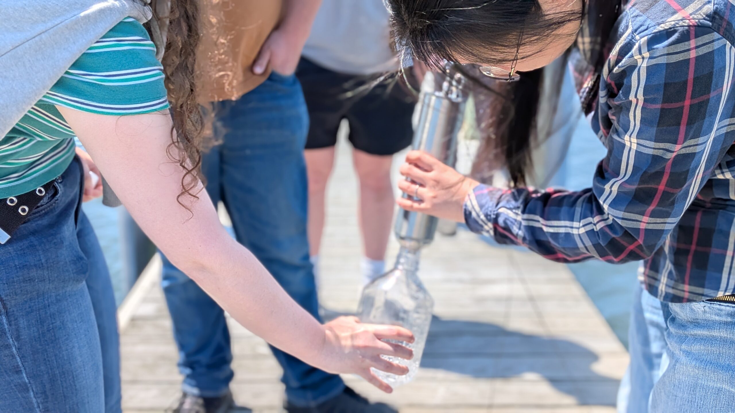
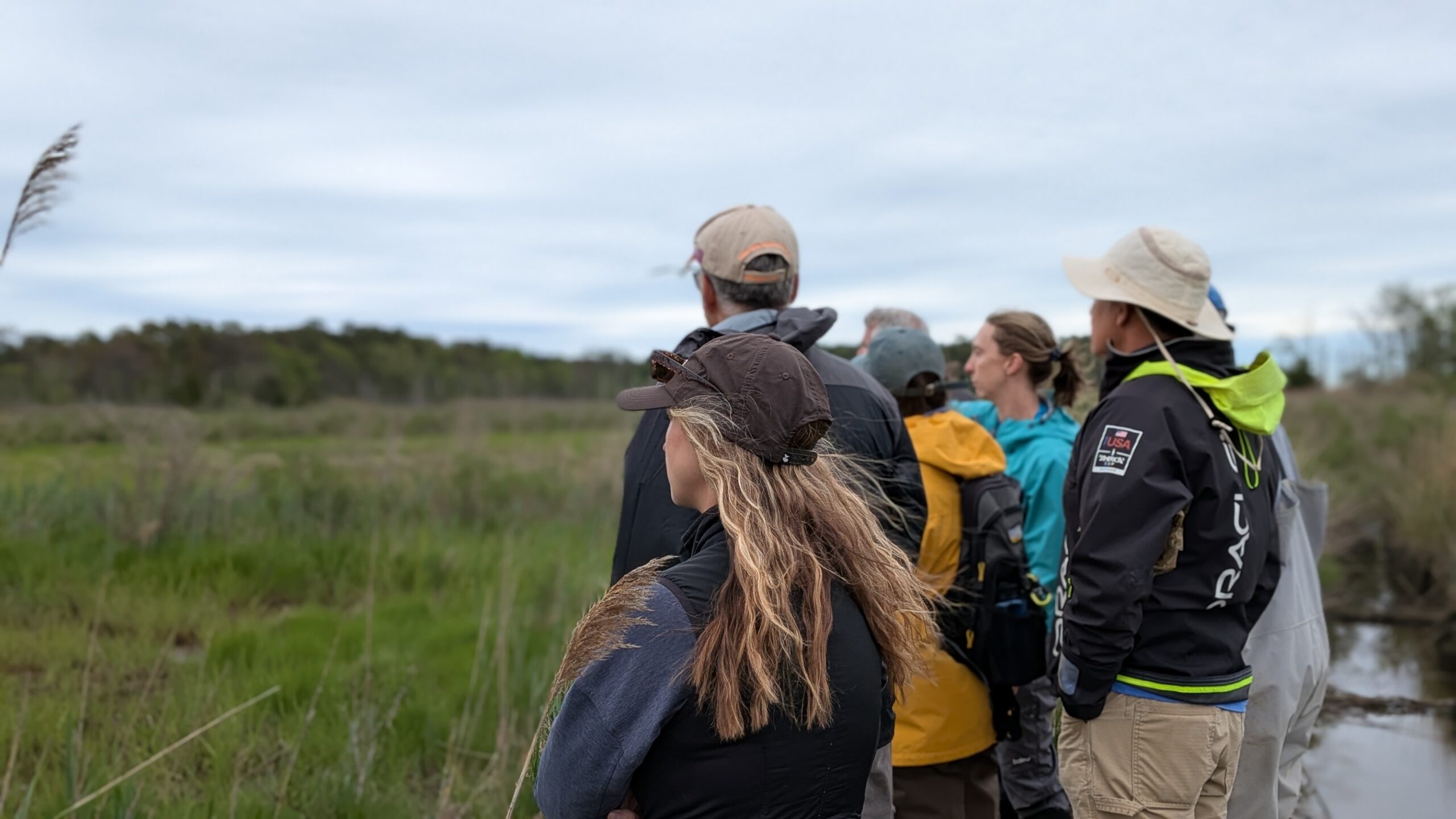
Since 2021, Wetlands and Watershed Coordinator Sammie Adamczyk of the Barnegat Bay Partnership (BBP) has led our local field team in collecting data to assess and restore crossings within critical freshwater tributaries feeding the bay.
Barnegat Bay depends on the health of its headwaters and upstream ecosystems. Reconnecting streams in the watershed allows migratory fish to reach spawning grounds, strengthening local fisheries. These improved waterways also help filter pollutants, trap sediment, and support wetland function boosting overall water quality in the bay.

And the benefits extend beyond the environment. Upgrading old barriers helps protect roads and nearby communities from flood damage, and reduces the cost of road repairs by using natural materials for these improvements.
It’s hands-on science with a real impact and it’s a great way to explore hidden parts of the watershed, contribute to environmental research, and help shape future restoration efforts.
Check out streamcontinuity.org to explore maps, data, and projects. Search Barnegat Bay to see where barriers exist and which have been prioritized for restoration.