On a rainy day in Ocean County, it’s easy to watch water rush into storm drains without giving it much thought. That water rushing into the storm drains isn’t just rain; it’s a combination of water and whatever was else on the ground where the water flowed. It’s called stormwater.

So what is stormwater runoff? Well, when rainwater lands on the ground it has to go somewhere. In densely populated areas like Ocean County, rainwater flows over streets, driveways, lawns, parking lots, and all other surfaces; collecting everything in its path from oil, fertilizers, pet waste, trash, loose soil, and other pollutants. With so much pavement and so little natural ground to soak it up, much of this runoff reaches Barnegat Bay and its tributaries untreated, leading to poorer water quality, stressed habitats, and higher flood risks.
Polluted stormwater runoff doesn’t just dirty our water; it can shut down our favorite swimming spots. When excess fertilizer washes into the bay, it acts like plant food, causing algae to grow out of control. As these blooms die off, they use up the oxygen fish and other wildlife need to survive. Add in bacteria from pet waste and other pollutants, and you’ve got a recipe for beach closures across the bay.
Fast-moving runoff can erode stream banks, sending sediment into waterways where it clouds the water, smothers habitats, and clogs channels. Impervious surfaces increase the volume and speed of runoff, raising flood risks that threaten property, infrastructure, and safety. With less water soaking into the ground, groundwater supplies dwindle, affecting stream flows and well water availability. These environmental and public health issues also carry an economic toll, from costly flood damage and cleanups to lost tourism and recreation.
According to the NJ Department of Environmental Protection’s REAL Program, over the last 50 years, storms that resulted in extreme rain increased by 71% in New Jersey and is expected to increase by 4-11% by 2050. Much of the stormwater infrastructure used today by municipalities is not designed to manage increased rainfall, and thus the NJDEP is focused on reforming practices to minimize pollution and flood damage in our communities.
NJDEP is also helping Clean Water Act identify impaired waterbodies by identifying Total Maximum Daily Loads. The Barnegat Bay is one of over 600 TMDLs in New Jersey and studies are wrapping up to identify sources of pollution into the bay. From there, the NJDEP will publish models, recommendations, and watershed plans to support a reduction in nutrient loads that impact the bay and its tributaries.

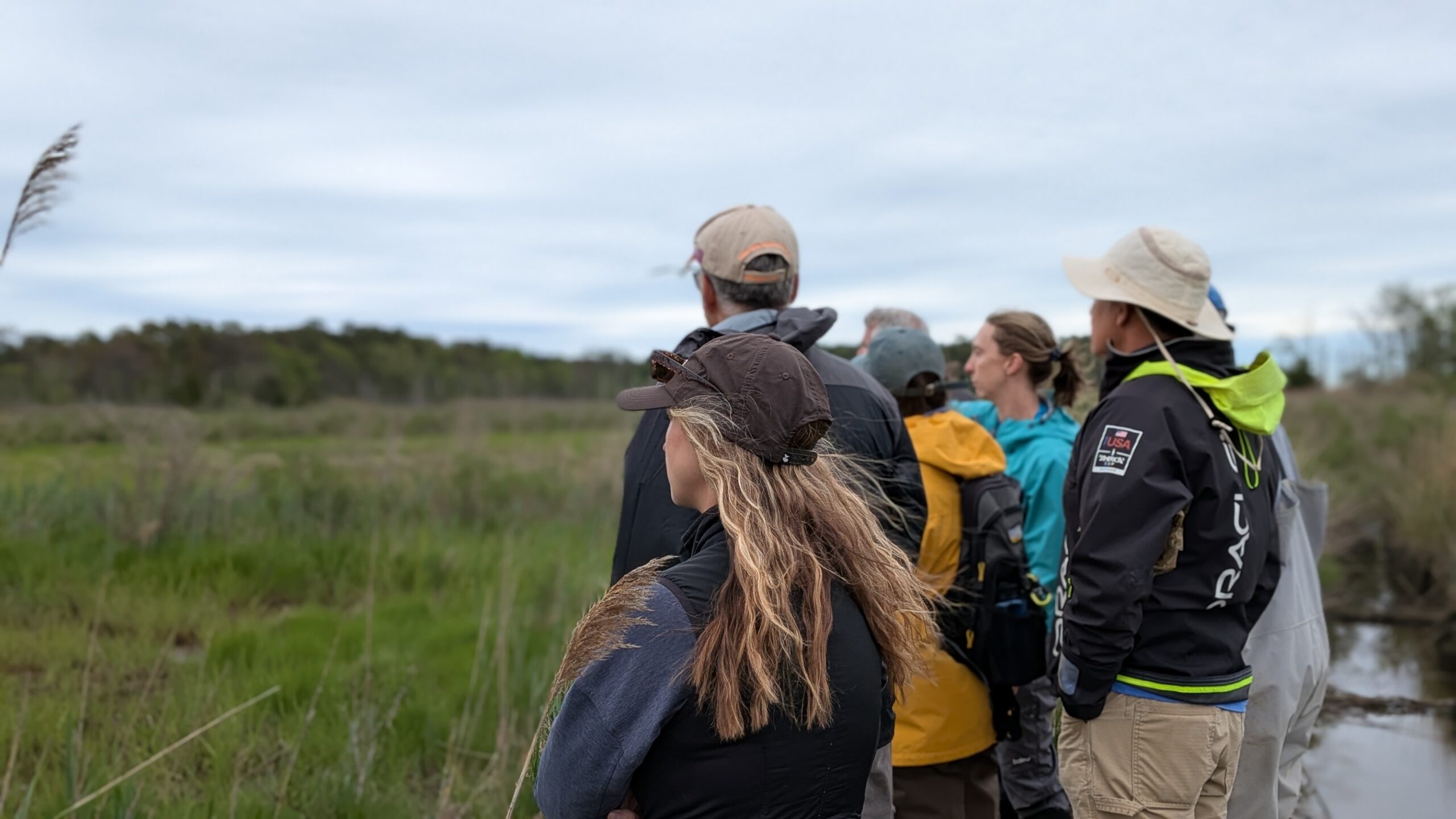
Ocean County’s unique combination of sandy soils, coastal wetlands, and rapidly growing development means stormwater management is both a challenge and a necessity. While the challenges of stormwater runoff in Ocean County are significant, they’re not insurmountable. Every native plant planted (shout out to the Jersey Friendly Yards program), every reusable bottle, and every effort to reduce fertilizer and pesticide use brings us closer to a cleaner, healthier Barnegat Bay. Local governments, organizations, and residents all play a role whether it’s upgrading infrastructure, restoring wetlands, or making simple changes at home.
By working together and embracing smarter stormwater practices, we can protect our waterways, strengthen our communities against flooding, and ensure the bay remains a place for fishing, boating, swimming, and wildlife for generations to come. The rain will keep falling. With the right actions, we can make sure it nourishes our land instead of harming it.