The Barnegat Bay Partnership (BBP) has officially launched the new Paddle for the Edge Portal, an interactive online tool that brings ten years of community science data right to your fingertips. The portal showcases an incredible decade of work by volunteer paddlers who have explored the shorelines of Barnegat Bay and beyond, collecting vital data that helps us better understand and protect our coastal habitats.
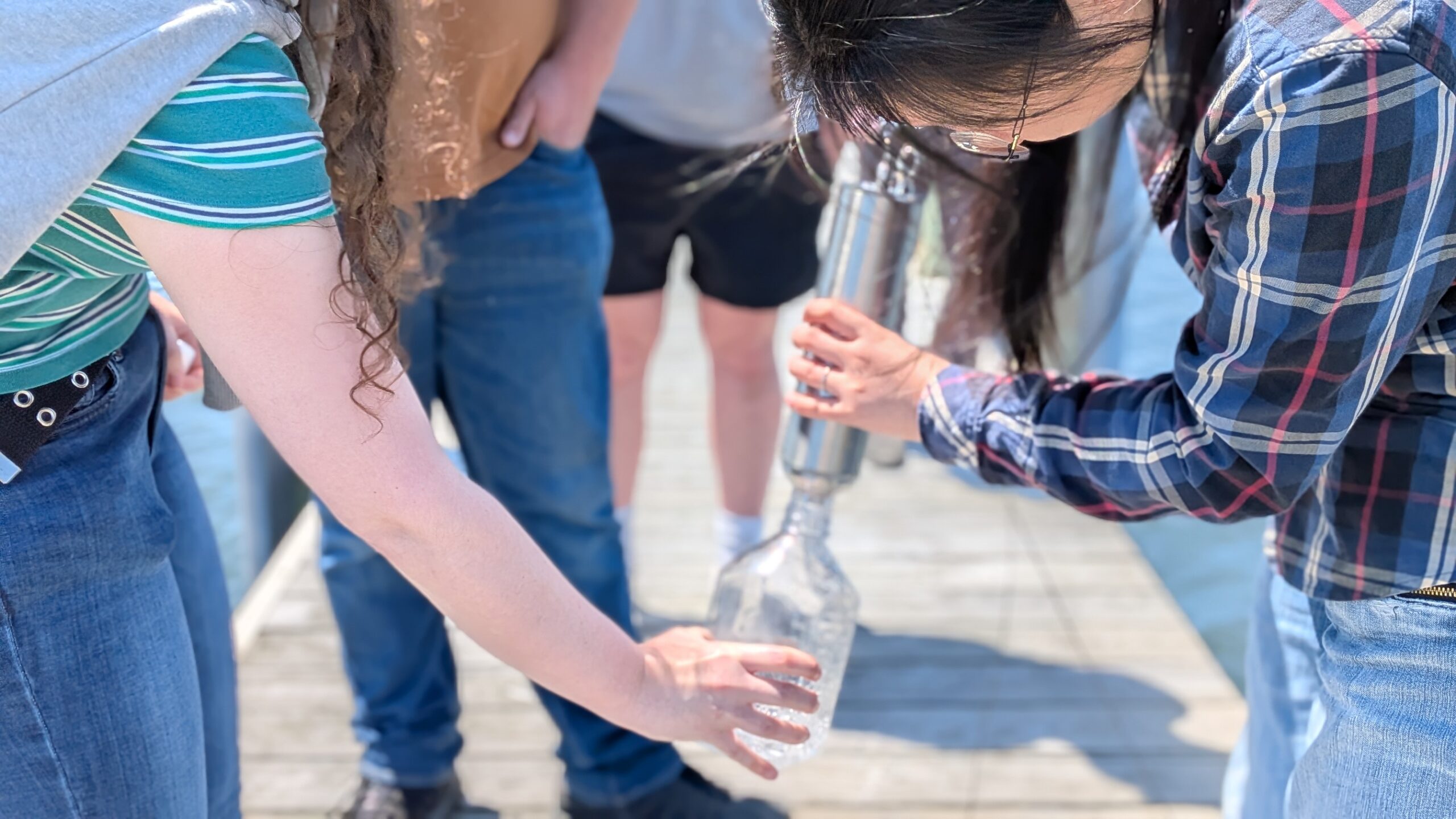
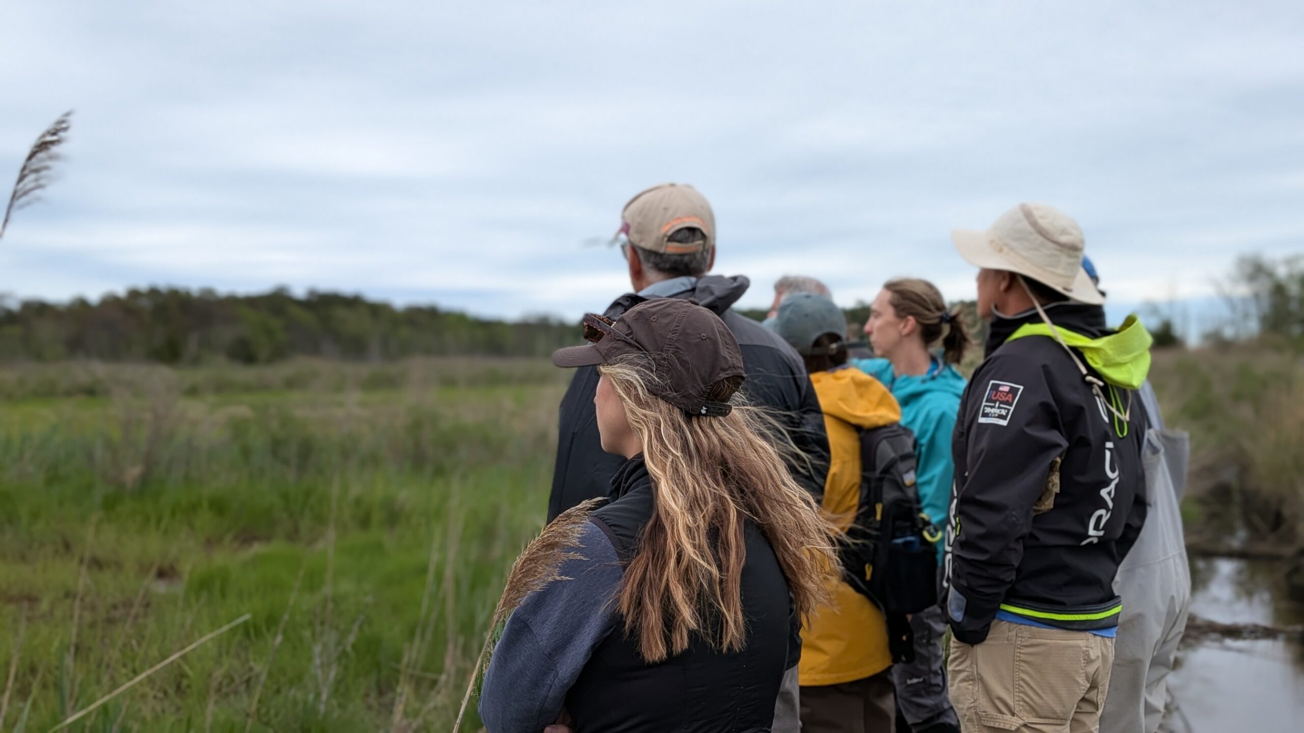
Since 2015, the Paddle for the Edge program has invited volunteers to grab their paddles, hop in a canoe, kayak, or paddleboard, and gather observations along the bay’s marsh edges. These dedicated community scientists have collected more than 11,000 data points from Barnegat Bay, Great Egg Harbor, and the Seven Mile Island watersheds. Their observations include details like bank shape, vegetation type, shellfish presence, and other physical and biological features—all key clues that reveal how our shorelines are changing over time.

Behind the scenes, BBP staff carefully reviewed and standardized the data to ensure its quality and consistency. Now, that effort has culminated in a beautiful, user-friendly portal where anyone can explore the information. Through an interactive map hosted by ESRI, users can zoom in on specific sites, browse photos, and filter data to see patterns that matter most to them. Whether you’re a researcher, restoration manager, student, or simply a curious local, the portal makes it easy to visualize how the bay’s wetlands have evolved over the last decade.
This isn’t just data for data’s sake, it’s a living resource that’s already helping shape restoration and conservation decisions. During the portal’s rollout announcement at the NJ Bay Islands Initiative meeting, Angela Anderson, Director of the Long Beach Township Field Station for Marine Education and Research, shared that the tool “provides a collective image of conditions around the bay islands, which is particularly helpful when applying for permits.” BBP’s own Ceili Pestalozzi, Wetland and Watershed Manager, has already begun using the portal to support ongoing monitoring efforts.
The Paddle for the Edge Portal also highlights the power of community science. Every data point represents time and care contributed by volunteers who know and love the bay. Their collective efforts provide a valuable “ground truth” for scientists and funding agencies working to identify restoration priorities and protect vulnerable marshes.
Ready to dive in? You can explore the portal yourself at https://paddle-for-the-edge-bbp.hub.arcgis.com. Check out this video for a quick tutorial on many of the portal’s features!
To learn how to get involved in future Paddle for the Edge surveys, visit the Barnegat Bay Partnership’s Community page. For questions—or to share how you’re using the portal to learn more about the bay—contact Samantha Adamczyk at sadamczyk@ocean.edu.