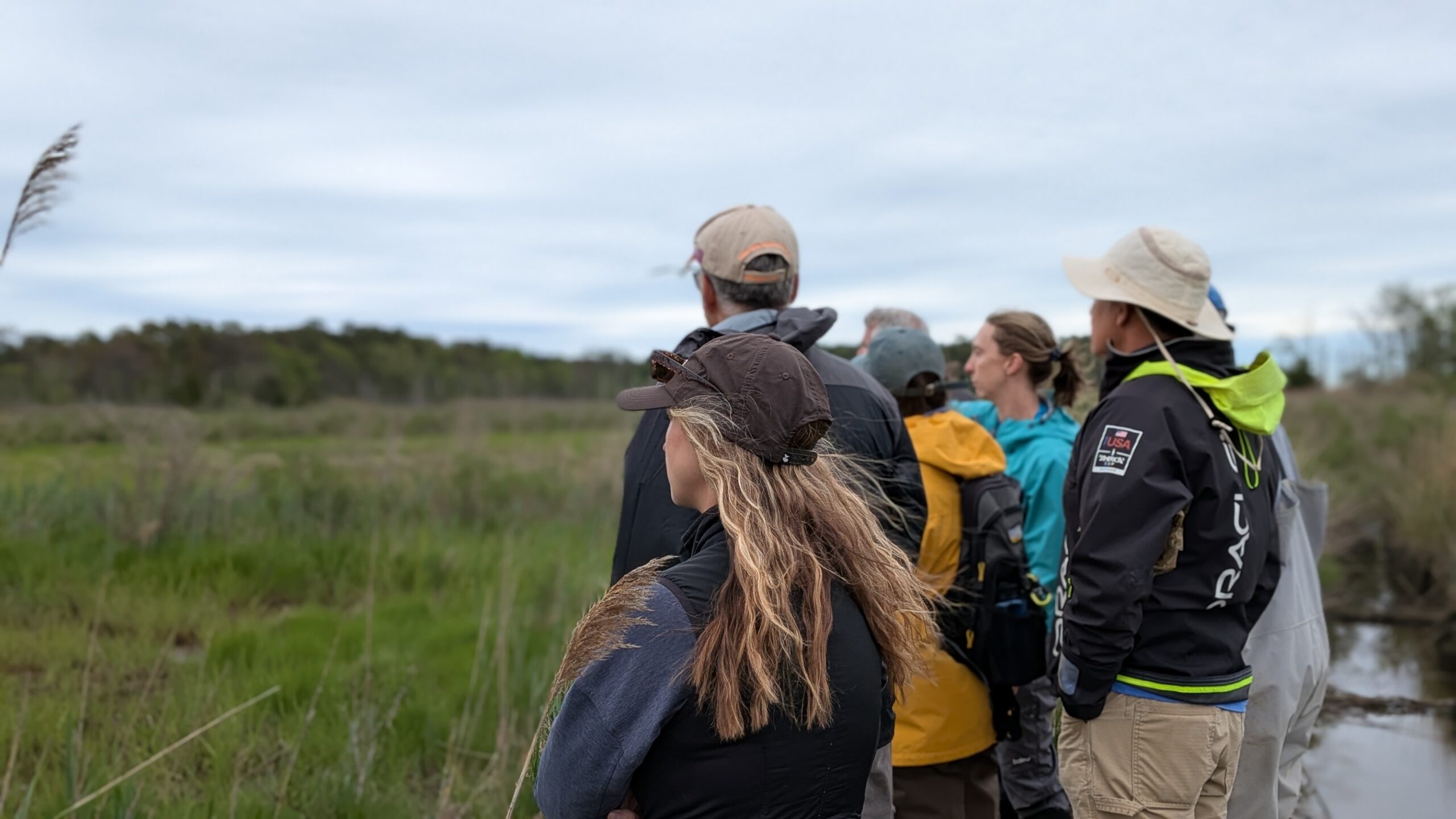
Every year, usually starting in April, the Barnegat Bay Partnership wetlands research team begins collecting data for our Site Specific Intensive Monitoring (SSIM) program. SSIM is part of the Mid-Atlantic Coastal Wetlands Assessment (MACWA) program, which was developed in collaboration with the Partnership for the Delaware Estuary and other federal, state and academic partners to study the condition of our coastal wetlands.
During our SSIM field work, we collect data on elevation, vegetation, water quality, and soils at four salt marsh sites throughout the Barnegat Bay. In order to determine marsh elevation, we use a couple of different techniques to get a good picture of how things are changing in the marsh. In addition to conducting elevation surveys with very precise GPS units, we also install a series of Surface Elevation Tables (SETs). SETs are long rods driven down far into the marsh platform. The rod is cemented in place so it doesn’t move, and connects to a receiver that allow us to measure relative elevation in the exact same location year after year.
In close proximity to these SETs, we install marker horizon plots. These plots are small squares where we put down white feldspar clay, which does not degrade and tends to stay in place. As time goes on, and sediment builds up, we are able to cut out a small section of marsh, which we call a ‘’marsh brownie,” and measure the amount of sediment accretion (build-up) in that location.

By coupling SET and marker horizon data, we are able to determine if there are shallow below-ground processes that are causing the marsh to sink. For example, if we see accretion rates of 5mm per year but are only seeing an elevation change of 3mm per year, then we know there is 2mm per year of shallow subsidence (downward settling of land).
Knowing changes in marsh elevation is critical when planning wetland restoration and protection projects. Geological changes along the mid-Atlantic coast are causing land to sink at the same time that sea levels are rising. There are two reasons for this land subsidence. The weight of ice from glaciers during the last ice age caused the east coast to rise up a bit. Once the glaciers melted, the land along the coast began to gradually sink back down. A second factor is the pumping of groundwater in coastal communities, resulting in sediments settling and land subsiding.
Last week was scheduled to be the opening of the field sampling season for our wetlands research team. However, due to COVID-19 precautions, we have had to adjust our field schedule and procedures to ensure that our team remains safe during these challenging times. With these adjustments, we will still be able to continue our important ongoing studies of Barnegat Bay coastal wetlands this year.