What September’s coastal storm can teach us about our beaches, bays, and the forces that shape them.
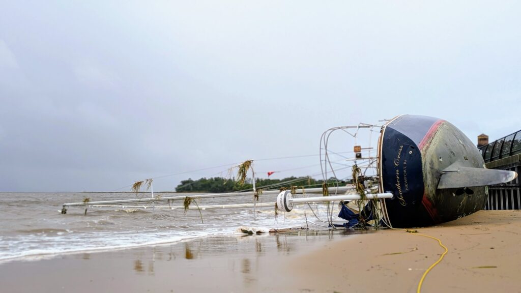
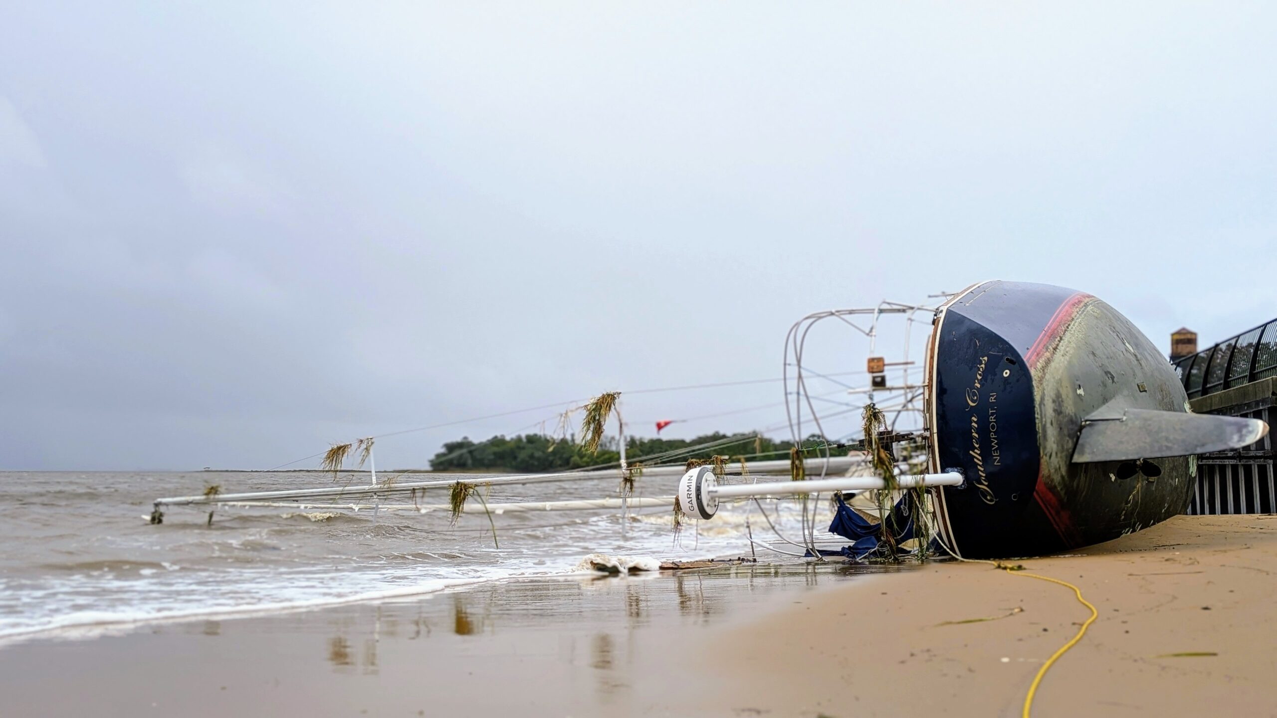
In late September, a powerful nor’easter brought days of strong winds, heavy rainfall, coastal flooding, and beach erosion to the Jersey Shore. While much of the attention was on the crashing waves and disappearing beaches along the oceanfront, something equally interesting was happening on the other side of the barrier islands.
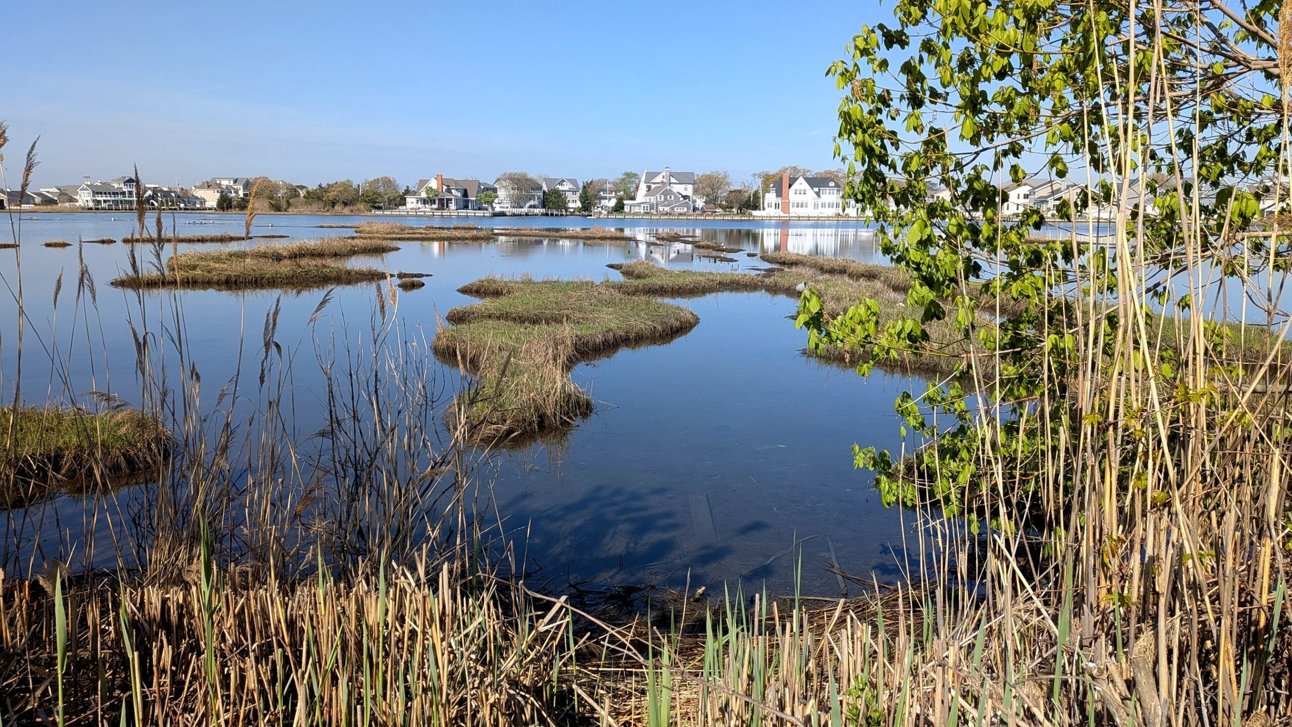
Water was accumulating in Barnegat Bay, and in some places, it had nowhere to go.
To understand why this happens, we need to look at how nor’easters work, how water moves through Barnegat Bay, and what happens when heavy rainfall and coastal flooding occur at the same time.
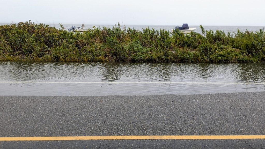
So what is a nor’easter?
Simple put: a nor’easter is a large, low-pressure weather system that develops when cold air moving south from Canada interacts with warmer, moisture rich air over the Atlantic Ocean. The name comes from the strong northeasterly winds commonly experienced along the coast.
Unlike hurricanes, which draw much of their energy from warm tropical waters, nor’easters are fueled primarily by temperature differences in the atmosphere.
One of their most important characteristics is how long they can last. A slow moving nor’easter can bring strong winds and elevated water levels over several days, allowing flooding to build across multiple high tides.
According to the Rutgers New Jersey Weather Network, September’s storm was a remarkable example. Coastal flooding began as early as September 22, several days before the storm peaked. Between September 22 and 30, Atlantic City and Cape May experienced 12 high tide cycles with at least minor flooding, while Sandy Hook experienced 10.
The repeated flooding made this event particularly significant, even compared with some historically powerful coastal storms.
Why Does Water Build Up in the Barnegat Bay??
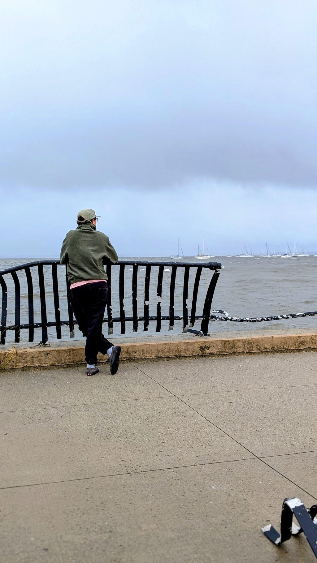
Well, a few reasons. Barnegat Bay is a long, shallow estuary separated by the Atlantic Ocean by a series of barrier islands. Water moves between the bay and ocean primarily through Barnegat Inlet and Little Egg Inlet, with an additional connection through the Point Pleasant Canal and Manasquan Inlet to the north.
Under normal conditions, water moves in and out with the tides. But during a nor’easter, strong winds and elevated ocean water levels can disrupt that exchange.
Northeasterly winds blow from the northeast toward the southwest. Along the Jersey Shore, this means winds push ocean water toward the coast, contributing to storm surge, an abnormal rise in water level above the normal tide.
As ocean levels rise, that additional water can enter Barnegat Bay through its tidal connections.
At the same time, winds blowing along the length of the bay can push water toward its southern reaches. This process, called wind setup, can cause water to accumulate against the southern shoreline, particularly when sustained winds align with the bay’s orientation.
The shape of the bay also matters. Because Barnegat Bay is long, shallow, and relatively enclosed, water levels can respond differently from one community to another.
And while the bay is connected to the ocean through several inlets, those openings cannot instantly release accumulated water. When ocean levels remain elevated because of wind blowing water onshore, the difference in water level needed to move water out of the bay is reduced. This can slow drainage and prolong flooding, even as the tide begins to fall.
Research from the U.S. Geological Survey confirms that offshore water levels, local winds, and the shape of Barnegat Bay all influence how stormwater levels vary throughout the estuary.
Importantly, the greatest flooding does not always occur in the southern bay. The location of the highest water depends on wind direction, storm timing, and water levels at the inlets.
Big Storms lead to Bigger Stormwater Backups
While the bay is filling with ocean water, something else is happening on land.
Rain is falling across the watershed, flowing over roads, parking lots, lawns, and other surfaces before entering storm drains, streams, and eventually Barnegat Bay.
Normally, stormwater drainage systems rely on gravity to carry this water toward lower elevations. But when water levels in the bay are already elevated, stormwater outfalls may become submerged, making it difficult for runoff to drain.
In some locations, bay water can even flow backward through drainage systems, contributing to flooding in streets and neighborhoods.
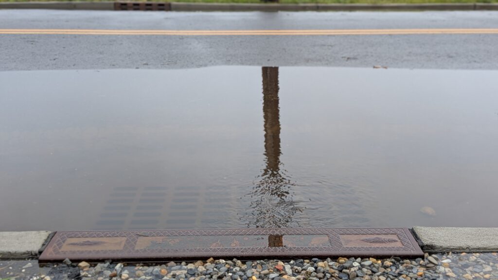
This is sometimes called compound flooding, when multiple sources of flooding occur together and worsen the overall impacts.
During September’s storm, the combination of persistent coastal flooding and heavy rainfall created conditions favorable for this process. According to Rutgers, some coastal Monmouth County communities recorded more than eight inches of rainfall.
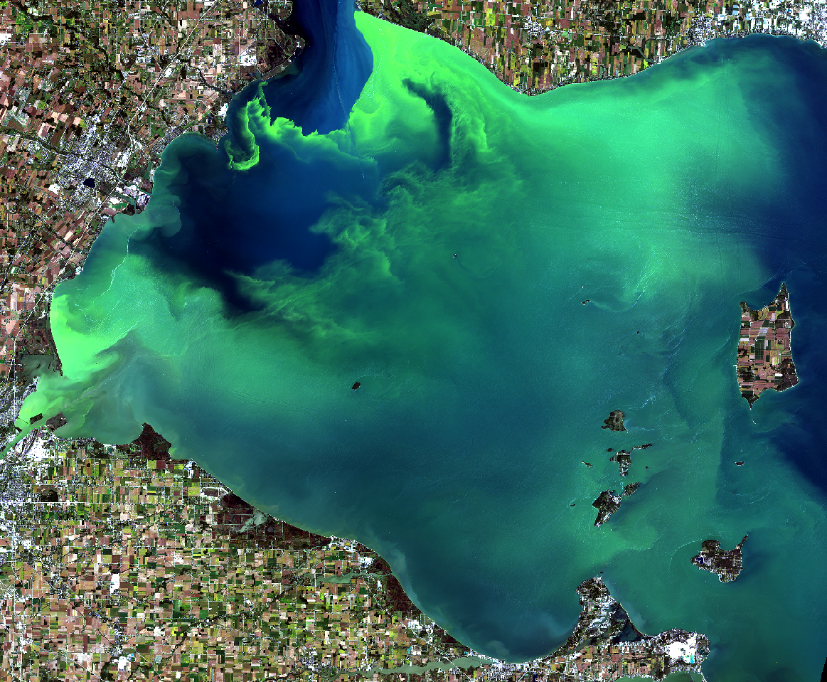
The consequences extend beyond flooded roads and properties. As stormwater travels across developed areas, it can collect fertilizers, sediment, bacteria, oil, and other pollutants. When that runoff eventually enters the bay, it can affect water quality by introducing nutrients and contaminants, increasing turbidity, and influencing dissolved oxygen conditions.
These impacts can continue after the storm ends as accumulated water slowly drains from surrounding communities into the estuary.
NOAA’s research on stormwater inundation explains how elevated coastal water levels can interfere with drainage infrastructure and make flooding more widespread and persistent.
Once the storm passes, what’s happening in the bay?
Once the winds calm and the tides return to more typical levels, water begins moving more freely through the bay’s tidal connections. But that doesn’t mean the environment immediately returns to normal.
Freshwater runoff can temporarily lower salinity in some areas, while strong winds and currents can stir sediment from the bottom of the bay, increasing turbidity and reducing the sunlight available to underwater plants like seagrasses.
Nutrients and organic matter carried into the bay may also influence water quality in the days following a storm.
These changes aren’t necessarily the same throughout the estuary. Water depth, circulation, proximity to tidal inlets, and surrounding land use all influence how different areas respond.
This is why continuous environmental monitoring is so important. By collecting measurements of salinity, dissolved oxygen, turbidity, and temperature before, during, and after storms, scientists can better understand how Barnegat Bay responds to these events and how long it takes for conditions to change again.
Feeling nerdy?? Browse data on the NJ Continuous Water Quality Monitoring Portal to find out how your area was impacted by the storm.
The interaction between ocean water, wind, rainfall, and the geography of Barnegat Bay can create complicated flooding conditions, especially when high water persists through multiple tidal cycles. Understanding how our bay responds to storms helps us make better decisions about stormwater management, coastal development, and the protection of wetlands and other natural areas that can help slow and absorb floodwaters.