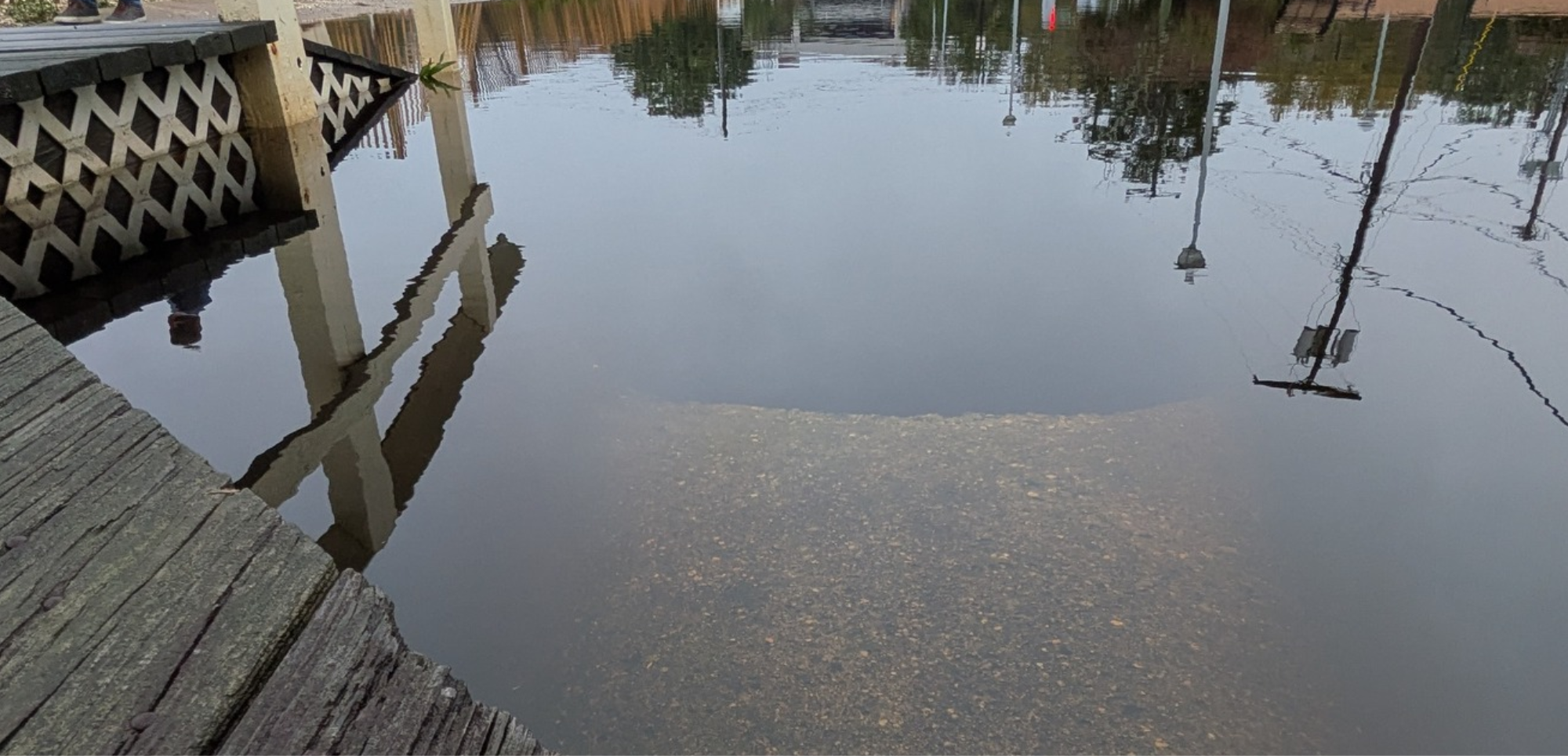
Think about your daily commute. Ever notice driving over a small stream? How many do you pass on a weekly basis? Each location where the road carries you over a stream or river is considered a “stream crossing”. In other words, a road-stream crossing is a location where a road intersects a natural stream channel and requires a structure to allow the natural movement of water, fish, and wildlife beneath the road.
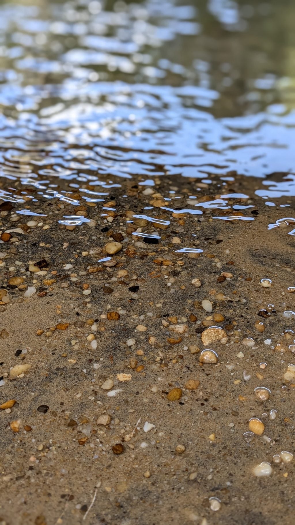
Since 2016, the BBP has been assessing the stream crossings throughout the watershed to determine their passability for aquatic life. In 2021, the BBP intensified this work by targeting crossings in wildlife corridors identified by the NJDEP Connecting Habitats Across New Jersey (CHANJ) initiative, adding terrestrial research to our collection of data. Funding for the past three years of this work was provided by the Infrastructure Investment and Jobs Act, bolstering our ability to assess wildlife passage of the often-outdated structures, assessing over 700 of the nearly 1,000 crossings present in the watershed.
The results? We’ve compiled all the data and assigned scores to each of the crossings based on the ability for wildlife to pass through and determined hyper-local barrier types at each location.
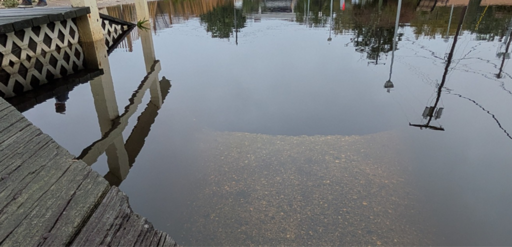
Determining the water’s ability to flow, however, is a bit trickier of a mission. With the frequency and intensity of storms becoming less predictable, so does the efficacy of the structures being assessed. Many of the crossing structures in the watershed are not designed to withstand increased water levels or water flow. The current 100-year storm is forecasted to produce more rainfall than the 100-year storm identified at the time most of these structures were made, and the risk of water exceeding a crossing’s hydraulic capacity becomes higher as a result. If these structures were to fail, the impacts could range from damaged roadways to danger to wildlife and human life.
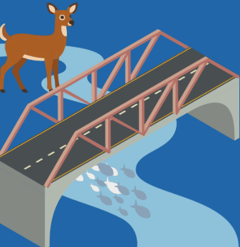
Using the current 100-year storm forecast predictions, the BBP created a risk assessment database for crossings in the Barnegat Bay watershed, which will provide municipalities with the tools needed to determine areas that are a priority for retrofitting or restoration.
Users can access the database to filter for priority crossings and identify strategic locations for project funding. For each of the studied crossings, the database includes a) evaluations for aquatic and terrestrial passability, b) the hydraulic capacity of the structure, and c) the maximum storm impact the crossing can withstand before overflowing. Crossings that are undersized for the current 100-year storm precipitation estimates are designated as a high priority for restoration.
The information included in the database gives local officials an easier way to identify high-priority areas for pro-active rather than reactive resilience efforts. Municipal officials can also find resources in the database to help locate culverts and bridges that remain understudied, creating the opportunity to easily investigate their condition.
Providing comprehensive data for the nearly 600 crossings that were investigated within the watershed creates a foundation for more intensive engineering work necessary to determine culvert capacity and future culvert design. Using this information, municipalities can concentrate efforts within their boundaries to help improve infrastructure to reduce flooding and improve habitat connectivity.
Curious about a crossing near you? Check out our database to see its restoration priority!