
Stream Crossing Assessments & Resilience
Understanding aquatic connectivity, wildlife passage, and infrastructure resilience throughout the Barnegat Bay watershed.
What is Stream Crossing?
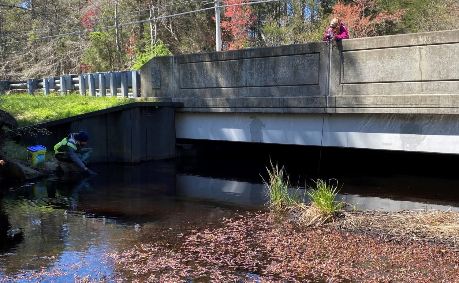
A road-stream crossing is a location where a road intersects a natural stream channel and requires a structure to allow the natural movement of water, fish, and wildlife beneath the road.
When these structures are undersized, deteriorating, or improperly designed, they can restrict aquatic and terrestrial passage, disrupt habitat connectivity, and increase vulnerability to flooding.
From Field Assessments to Watershed-wide Analysis
The Barnegat Bay Partnership has assessed road-stream crossings throughout the watershed since 2016, initially focusing on barriers to aquatic passage. In 2021, assessments expanded to include terrestrial wildlife passage, targeting crossings within wildlife corridors identified through NJDEP’s Connecting Habitats Across New Jersey (CHANJ) initiative.
Over the subsequent three years, funding through the Infrastructure Investment and Jobs Act supported expanded assessments of wildlife passage and resilience analysis. The completed analysis incorporated data from the North Atlantic Aquatic Connectivity Collaborative (NAACC) database to evaluate crossing characteristics, surrounding features, and projected rainfall conditions.
What was the Procedure?
1 - Field Assessments
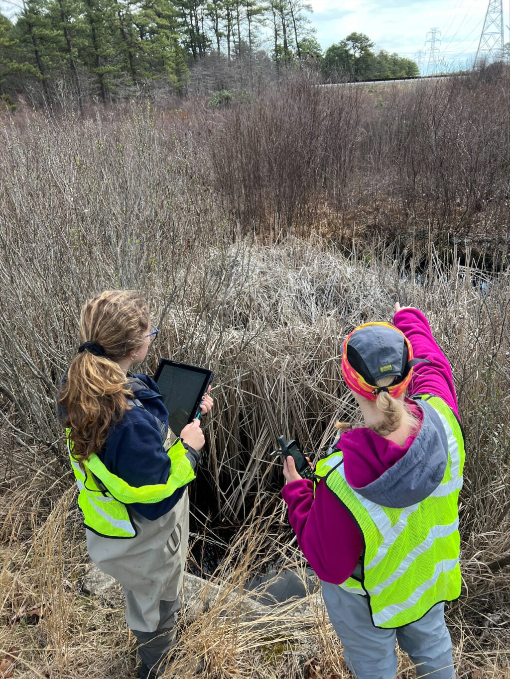
Obtained physical crossing characteristics including barriers to passage

2 - Data Compilation
Used the NAACC database to define crossing assessment information

3 - Hydraulic Analysis
Identified subwatersheds, discharge estimates, and precipitation scenarios
4 - Restoration Prioritization
Identified crossings that warrant further engineering investigation



724
Crossings Assessed
232
Crossings Analyzed
Analysis Outcomes:
1. Subwatershed Identification
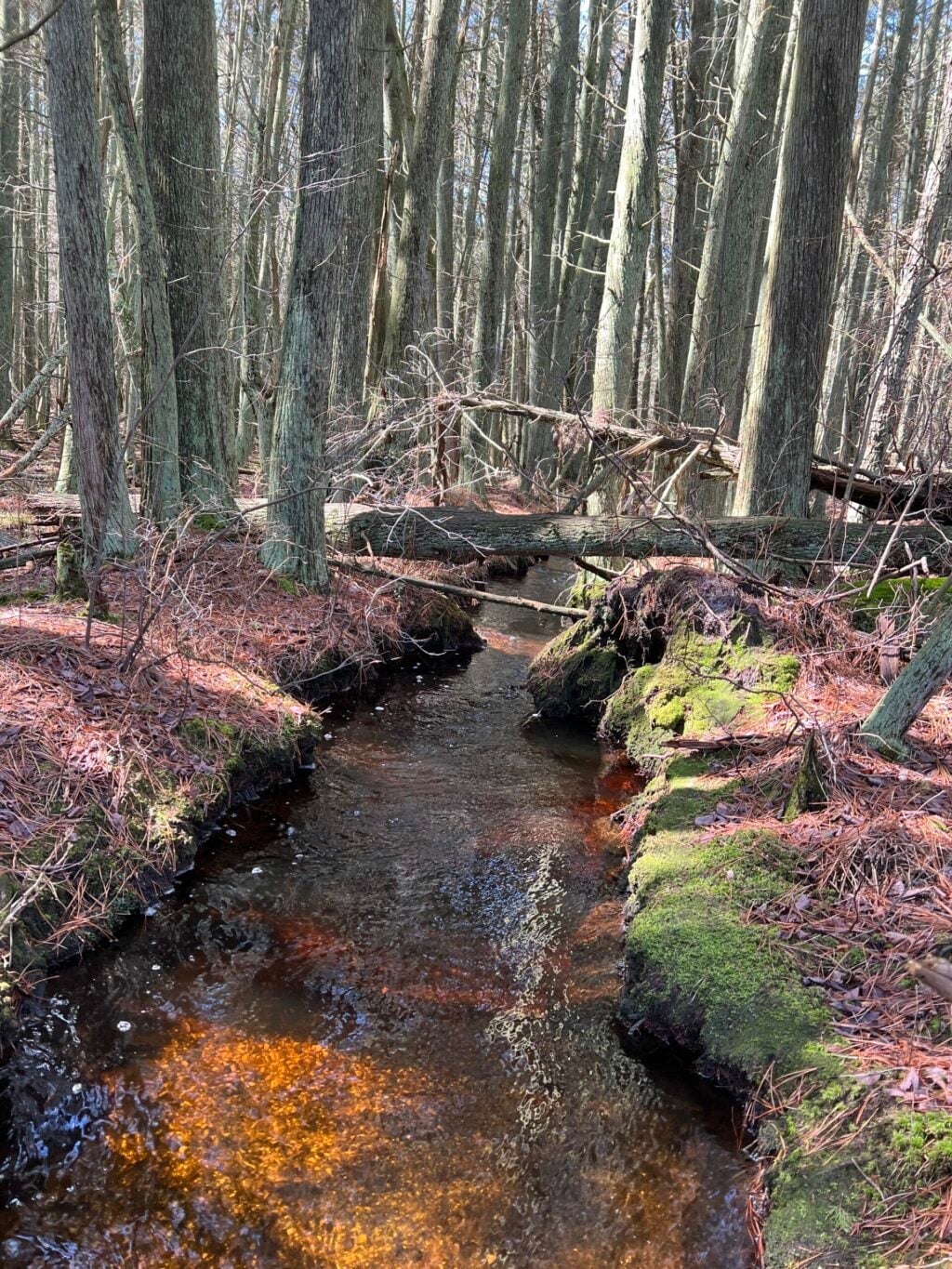
A subwatershed was generated for each stream crossing within the Barnegat Bay watershed. A subwatershed is a smaller drainage area within a larger watershed, consisting of the land area where precipitation collects and drains toward a common stream or waterway.
Identifying the subwatershed associated with each crossing provides geographic context for understanding how much land contributes runoff to that location. This is important because the amount of water flowing through a crossing is influenced by the size and characteristics of its upstream drainage area.
2. Watershed Discharge
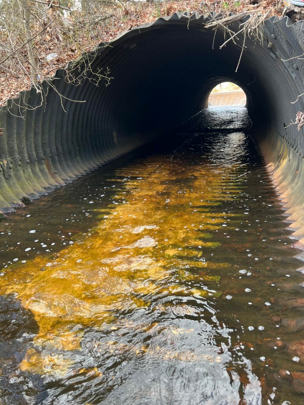
Using the identified subwatersheds and precipitation estimates, the analysis calculated anticipated watershed discharge for different storm events under both current and future precipitation conditions. Discharge refers to the volume of water flowing past a particular point over a given amount of time. In this analysis, discharge estimates help illustrate how the amount of water moving through a stream crossing may change as storm intensity and precipitation patterns change.
By evaluating multiple storm scenarios, including projected future precipitation, the analysis provides insight into the potential demands placed on existing crossing structures during increasingly severe rainfall events.

3. Hydraulic Capacity
Hydraulic capacity describes the ability of a stream crossing to convey water through its structure without exceeding its ability to safely accommodate flow. The analysis compared projected stream discharge against the estimated flow capacity of each crossing to determine the maximum storm event it could withstand under current and future precipitation estimates before overflowing or potentially causing damage.
Crossings unable to accommodate the discharge associated with the current 100-year storm precipitation estimates were designated as high priority for restoration.
Explore the Fact Sheet & Database
The completed dataset and fact sheet provide municipalities and other stakeholders with resources to identify crossings that may be vulnerable to increased stream flows and prioritize locations for further investigation. Use the database to explore crossing characteristics and identify locations designated as high priority for restoration. Likewise, use the fact sheet as a quick overview of these metrics.
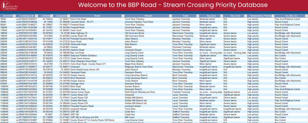
Road-Stream Crossing Priority Database
– Filter crossings by municipality
– Identify high-priority restoration locations
– Review crossing characteristics and barriers