Opens in a new tab

November 19, 2026

Stream Crossings: What are They and Why Should You Care?

by Samantha Adamczyk

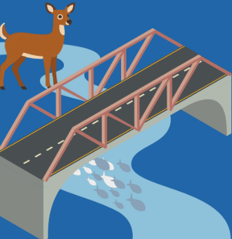
Think about your daily commute. Ever notice driving over a small stream? How many do you pass on a weekly basis? Each location where the road carries you over a stream or river is considered a “stream crossing”. In other words, a road-stream crossing is a location where a road intersects a natural stream channel and requires a structure to allow the natural movement of water, fish, and wildlife beneath the road.  
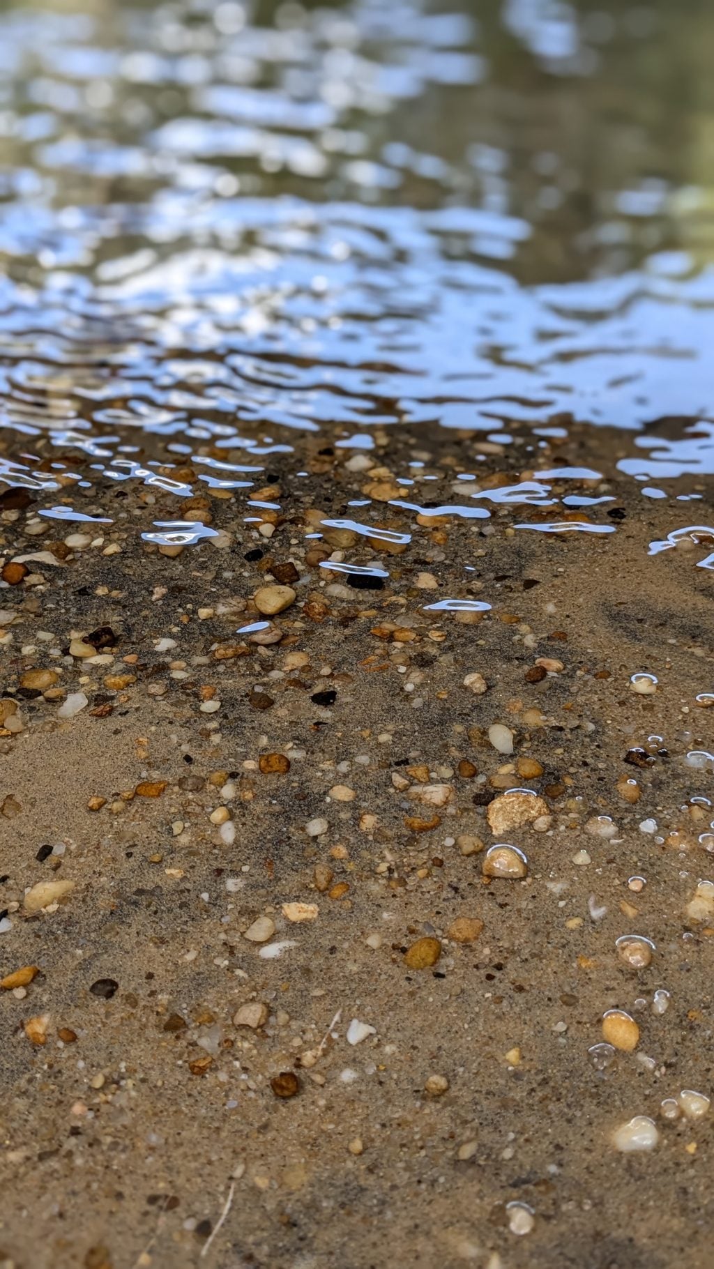
Tannic Water 2 1024x1820

Since 2016, the BBP has been assessing the stream crossings throughout the watershed to determine their passability for aquatic life. In 2021, the BBP intensified this work by targeting crossings in wildlife corridors identified by the NJDEP Connecting Habitats Across New Jersey (CHANJ) initiative, adding terrestrial research to our collection of data. Funding for the past three years of this work was provided by the Infrastructure Investment and Jobs Act, bolstering our ability to assess wildlife passage of the often-outdated structures, assessing over 700 of the nearly 1,000 crossings present in the watershed. 

The results? We’ve compiled all the data and assigned scores to each of the crossings based on the ability for wildlife to pass through and determined hyper-local barrier types at each location. 

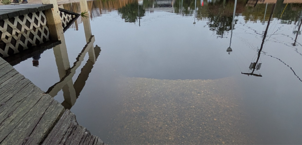
Determining the water’s ability to flow, however, is a bit trickier of a mission. With the frequency and intensity of storms becoming less predictable, so does the efficacy of the structures being assessed. Many of the crossing structures in the watershed are not designed to withstand increased water levels or water flow. The current 100-year storm is forecasted to produce more rainfall than the 100-year storm identified at the time most of these structures were made, and the risk of water exceeding a crossing’s hydraulic capacity becomes higher as a result. If these structures were to fail, the impacts could range from damaged roadways to danger to wildlife and human life. 
55170E08 0C0A 4D9A A969 8A7DEC03F097 Edited

Using the current 100-year storm forecast predictions, the BBP created a risk assessment database for crossings in the Barnegat Bay watershed, which will provide municipalities with the tools needed to determine areas that are a priority for retrofitting or restoration.  

Users can access the database to filter for priority crossings and identify strategic locations for project funding. For each of the studied crossings, the database includes a) evaluations for aquatic and terrestrial passability, b) the hydraulic capacity of the structure, and c) the maximum storm impact the crossing can withstand before overflowing. Crossings that are undersized for the current 100-year storm precipitation estimates are designated as a high priority for restoration.  

The information included in the database gives local officials an easier way to identify high-priority areas for pro-active rather than reactive resilience efforts. Municipal officials can also find resources in the database to help locate culverts and bridges that remain understudied, creating the opportunity to easily investigate their condition. 

Providing comprehensive data for the nearly 600 crossings that were investigated within the watershed creates a foundation for more intensive engineering work necessary to determine culvert capacity and future culvert design. Using this information, municipalities can concentrate efforts within their boundaries to help improve infrastructure to reduce flooding and improve habitat connectivity. 

Curious about a crossing near you? Check out our database to see its restoration priority! 
Explore More Insights from Barnegat Bay

Dive deeper into the ongoing efforts to protect and restore our environment with more updates and initiatives that you can take part in. Check out our latest blog posts for valuable tips and insights.

UNKNOWN

There is limited data available to quantify Wetland and Riparian Buffer Preservation, or updated data to quantify Wetland Acreage. The BBP has obtained funding and will begin assessment efforts for both targets, in the next few years.


 Hard Clam abundance has not been updated since 2012. Recovery of the stock will be guided by the Fishery Management Plan for Hard Clams, which is under development with the NJDEP, BBP, and other organizations. Reclam the Bay and other partners have continued to plant clams for restoration purposes. Continued plantings in strategic locations which maximize survival and reproduction is one strategy to pursue in the coming years. This work can use a model developed by Rutgers with BBP funding which identified areas where planted clams could have the greatest dispersal of their larvae and thus potentially maximally contribute to the recovery of the stock.

 Water Withdrawals were over the target in the 2021 report; USGS has not yet completed its latest update, so a definitive determination of status is not available. However, additional NJDEP data show that it is likely that we continue to not meet the target. Per capita water use has gone down, demonstrating the effectiveness of water-saving appliances and practices, but that decrease has been offset by population gains. 


IN PROGRESS

New maps quantifying Submerged Aquatic Vegetation extent were developed, but poor image clarity resulted in a high degree of uncertainty in the total acreage. NJDEP and Rutgers are working to resolve the uncertainty of these maps, and improve the total acreage estimate. Funding has also been obtained for further research and restoration activities. Several groups are developing potential restoration actions.

The USGS has completed the first phase of its study to identify minimum ecological flows in select Barnegat Bay tributaries. USGS scientists compared streamflow statistics between historical and current time periods to better understand trends in watershed flow conditions. This work provides a foundation for developing ecological flow targets in the Barnegat Bay watershed.  Similar to SAV extent, funding (approximately $450K) has been obtained by the BBP to complete the remaining phases necessary for threshold determination.


TARGETS ACHIEVED

No targets can be considered “Achieved” at this time.


NOT ACHIEVING

Several Public Swimming Beaches exceeded their safe swimming standards more frequently than during their baseline time period (2016-2018).

While most beaches are routinely safe for swimming, several problematic areas such as Beachwood, Hancock, Windward, and several lake beaches need track-down studies and restoration to pinpoint and address sources of bacteria.

Acres of Approved Shellfish Waters decreased from the last report. While this decrease was small, it represents a loss of previously approved waters. Similar to public beaches, track-down studies and restoration work are needed to pinpoint and address sources of bacteria.


Stream Crossings: What are They and Why Should You Care?

Think about your daily commute. Ever notice driving over a small stream? How many do you pass on a weekly basis? Each location where the road carries you over a stream or river is considered a “stream crossing”. In other words, a road-stream crossing is a location where a road intersects a natural stream channel and requires a structure to allow the natural movement of water, fish, and wildlife beneath the road.  

Tannic Water 2 1024x1820

Since 2016, the BBP has been assessing the stream crossings throughout the watershed to determine their passability for aquatic life. In 2021, the BBP intensified this work by targeting crossings in wildlife corridors identified by the NJDEP Connecting Habitats Across New Jersey (CHANJ) initiative, adding terrestrial research to our collection of data. Funding for the past three years of this work was provided by the Infrastructure Investment and Jobs Act, bolstering our ability to assess wildlife passage of the often-outdated structures, assessing over 700 of the nearly 1,000 crossings present in the watershed. 

The results? We’ve compiled all the data and assigned scores to each of the crossings based on the ability for wildlife to pass through and determined hyper-local barrier types at each location. 

Determining the water’s ability to flow, however, is a bit trickier of a mission. With the frequency and intensity of storms becoming less predictable, so does the efficacy of the structures being assessed. Many of the crossing structures in the watershed are not designed to withstand increased water levels or water flow. The current 100-year storm is forecasted to produce more rainfall than the 100-year storm identified at the time most of these structures were made, and the risk of water exceeding a crossing’s hydraulic capacity becomes higher as a result. If these structures were to fail, the impacts could range from damaged roadways to danger to wildlife and human life. 

55170E08 0C0A 4D9A A969 8A7DEC03F097 Edited

Using the current 100-year storm forecast predictions, the BBP created a risk assessment database for crossings in the Barnegat Bay watershed, which will provide municipalities with the tools needed to determine areas that are a priority for retrofitting or restoration.  

Users can access the database to filter for priority crossings and identify strategic locations for project funding. For each of the studied crossings, the database includes a) evaluations for aquatic and terrestrial passability, b) the hydraulic capacity of the structure, and c) the maximum storm impact the crossing can withstand before overflowing. Crossings that are undersized for the current 100-year storm precipitation estimates are designated as a high priority for restoration.  

The information included in the database gives local officials an easier way to identify high-priority areas for pro-active rather than reactive resilience efforts. Municipal officials can also find resources in the database to help locate culverts and bridges that remain understudied, creating the opportunity to easily investigate their condition. 

Providing comprehensive data for the nearly 600 crossings that were investigated within the watershed creates a foundation for more intensive engineering work necessary to determine culvert capacity and future culvert design. Using this information, municipalities can concentrate efforts within their boundaries to help improve infrastructure to reduce flooding and improve habitat connectivity. 

Curious about a crossing near you? Check out our database to see its restoration priority! 
Contact Stream Crossings: What are They and Why Should You Care?Contact Stream Crossings: What are They and Why Should You Care?